Category Archives: Trip Reports

Granite Chief 2026-08-01 maintenance

This was a short trip, trimmed down from nine days to five days. I’m also a transportation advocate (Getting Around Sac) and sometimes I make the choice to focus on that. And of course all the other traveling and activities I do. But during the summer, Granite Chief Wilderness is my focus.

I went in at Five Lakes Trailhead. I went over the the lakes, which I’ve not stopped at in several years, and enjoyed my time just spacing out and enjoying the coolness. It was very hot in Sacramento, and hot in Truckee. Then on to Whiskey Creek Camp, which was my base. No one else was camped there. It used to be that any summer weekend would see at least one family camped at Whiskey Creek, but that has lessened over time. Unfortunately.

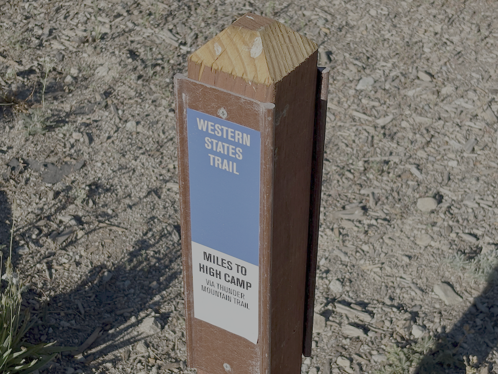
I did some work on the Western States Trail, cutting and clearing several down trees near the beginning, and removing debris. The trail is in good condition for a ways, but I know there is much more work to be done further along, and I did not get to it.

My main objective was working on the Five Lake Creek Trail south to Big Spring, but I got only about 2/3 of it finished, cutting small trees and removing debris, and a little brushing. There were a lot of new down trees since last year, many too large for me to cut. I perceive that the die off which started in the red fir zone about ten years ago has now reached the white fir zone, and a lot of trees are coming down at that lower elevation. The down trees can be stepped over or bypassed easily, except for one that has just come down. The bypasses are largely picked and defined by bears, not people. I would consider this trail maintained, and still recommend the trip down to Big Spring Meadow. Beyond there, the trail is much worse, and not recommended unless you like poor trails. And more wilderness.

In addition to whitethorn, which grows rapidly and encroaches on trails, two low growing and slower growing plants also encroach, creeping honeysuckle and various gooseberries. Cutting these back only lasts one year, as they come back strong the next year, so to keep them back for a few years requires pulling them out by the roots. Early season, this is not too hard, though a lot of detailed work. But by now the soil is dry and hard, and it is difficult to get these out by the roots. The honeysuckle in particular has a very complicated root system as it roots wherever the stems touch the ground. The big problem with the honeysuckle is that if a stem crosses the trail and roots, it produces a hard black stem that is a trip hazard, and one of the common names for this plant is trip-wire.

photo of Five Lake 5 reflection
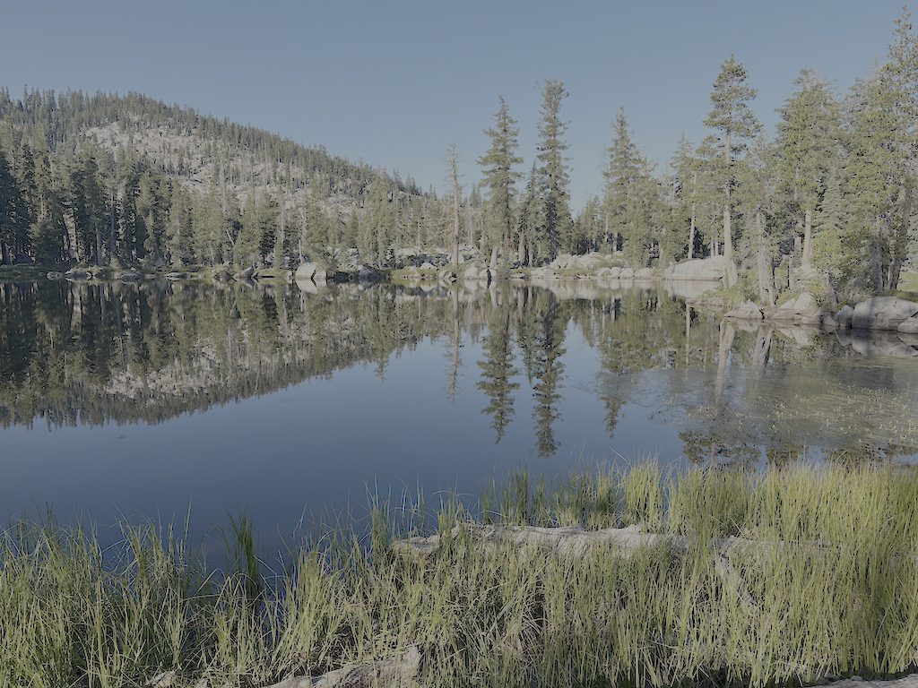
Five Lake 5 reflection

I walked back past the Five Lakes (of which there are a variable number depending on time of year) to the edge above the Bear Creek headwall, and camped there. A good place to enjoy the view east, sunset color and sunrise, and the lake nearby. The moon came up blood red, from smoke off to the northeast, though the smoke was aloft and not down at ground level until the next day. Apparently smoke from Oregon fires. California has had remarkably few fires this summer, compared to all the other western states, in large part because there have been far fewer thunderstorms than most years.

Most of the creeks and creeklets are lower for this time of year than most years. I think this is because the snow melted early, and at middle elevations, a lot of the precipitation was rain rather than snow. I think winter precipitation was only a little below normal, but the pattern was unusual. Small creeklets are almost all pooled by not flowing, or dry.

I went back out the same way. A brief stop in Tahoe City for a shower and picking up fuel canisters at Alpenglow. Alpenglow Sports is a good store, if you need supplies in Tahoe City. Then to Palisades Tahoe for Bluesday (Tuesday) for great music. Then back to Tahoe City to sleep on the lakeshore. And then to Truckee in the morning for tea at Dark Horse Coffee, and the Amtrak California Zephyr home to Sacramento.

August 1 is a cross-quarter day, one of the days in between the solstices and equinoxes, called Lughnasadh in some traditions. It is the time of year when a yellow cast begins to develop, the first of fall changes. Corn lilies are the first to change, in fact many are already dried and black by now. All the plants that will turn bright yellow or red in the fall already have tinges of color. Except the aspens, which are still green. Mosquitos are light but still present morning and evening, with flies of many species taking their place. Mosquitos were light this year, perhaps due to the early snow melt.

I have a new Nemo Tensor sleeping pad, a replacement for one that the valve failed on. This valve on this one appears to be made of a higher quality plastic, so hopefully it won’t fail. In the time it took to get the replacement, I needed some sort of pad, so I bought a Nemo Switchback, a closed cell form pad. It is great for insulation, as good at the Tensor, but of course doesn’t have the padding that my old body now prefers.

Granite Chief 2026-07-08 survey

My fourth Granite Chief Wilderness trip of the season was a survey trip. It was also intended to be a trail maintenance trip, working with the Western States Endurance Run (WSER) trail crew on the Tevis Cup reroute, but I injured myself crossing Talbot Creek, and had to bow out of that part.

I went in on the Granite Chief Trail from Olympic Valley. Though this is a nearly 600km climb to the PCT, it is still one of my favorites since it it only a short walk from the bus stop (Clock Tower in Palisades Tahoe) to the trailhead. There are three new trees down on the trail since it was logged out earlier in the season. I headed south on the PCT and camped at what I call Sand Flat, which is a large flat area along the trail that was also being used by many, many PCT thru hikers. It is just north of Washeshu Creek crossing, so easy access to water.

Next day I headed south along the PCT, where some trees have been cut but some remain. I talked with two American Conservation Experience (ACE) trail crews, a small one doing brushing and tread work on the PCT heading north, and a larger one doing trail polishing on the Tevis Cup reroute, west from the existing trail. These trail crew are an AmericanCorps program, so participants receive a stipend but are volunteers. Their tools were packed in by the Forest Service.

I then continued south on the PCT, which has been logged out but I don’t know by whom, to the Middle Fork Trail. This is not an official name, and I used to call it the Tevis Connector, but it may well end up with this name. I walked down across the Middle Fork and up to the existing Tevis Cup trail, and up to the reroute, then back along the reroute to the PCT. I talked briefly to Matt Bromley, the Forest Service person in charge of the reroute project, who works for American River Ranger District.

I then continued south on the PCT, with 27 down trees, no change from my previous trip, and to Whiskey Creek Trail, and then to the Western States (Picayune Valley) Trail. There are 130 down trees between Whiskey Camp and Talbot Trailhead. Many are small, but there are also many large. Some parts of the switchbacks below the saddle are very brushy, almost brushed closed (whitethorn). Except for these issues, the trail is overall acceptable. I met an eastbound backpacker on the trail, and we were both surprised to see each other. Though many people day hike in from Talbot TH, and some people do overnight camps in the middle bedrock section, the trail is overall little used.

photo of lichen & fern, Middle Fork American River
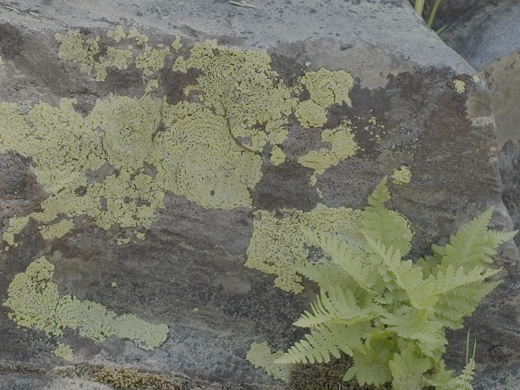
lichen & fern, Middle Fork American River

From the trailhead I went north on the Talbot Trail. There were 44 down trees, many in the lowest section, with light to very heavy debris. Talbot Creek is dry at the trail crossing, no unusual, though it flows above and below. High up, nearly to the Tevis Cup junction, a branch of Talbot Creek crosses the trail and is low but flowing. I saw no sign of anyone else using this trail. It has not been maintained since it was constructed. It serves mostly as a connector, not a destination, though the view from the open ridge about 2/3 of the way up is quite nice.

I met the Western States Endurance Run trail crew leaders at Lyon Saddle, and had some interesting conversations. By Saturday morning it was clear that I really had injured myself crossing Talbot Creek, and it was going to be a slow recovery, so I bailed out of the weekend work party. WSER is working in from the west end of the Tevis Cup reroute. If you like trail work and want a crew to work with, consider WSER. There are five work weekends remaining this year. Though some of the crew are returning, and have a lot of trail construction experience, it is not required, and the group is very welcoming, and fun. All tools are supplied.

From the saddle I hiked back eastward, partly on existing Tevis Cup Trail, and partly on the mostly completed section of the reroute. I have not hike the entire existing trail in several years, since I detest the boggy and up and down and up and down middle section, which the reroute will avoid. I continued out to Olympic Valley, to Truckee for the day, and then home on the Amtrak bus. I’ve been going to Dark Horse Coffee for several years on every trip, beginning or end or both, and have recently discovered jalapeno cheddar bread at Cornerstone Bakery. I don’t just go backpacking, I also enjoy Truckee and Tahoe City.

Granite Chief 2026-06-24 maintenance

My third Granite Chief Wilderness trip was for trail maintenance. My original intent was to work on either the Five Lakes Creek Trail or the Western States Trail, but on my way in, found that the ‘Squaw’ Saddle Trail, PCT-d segment (my term, not related to PCT segments), and Whiskey Creek Trail needed work, so spent my time on those.

‘Squaw’ Saddle Trail (needs to be renamed by apparently has not been renamed by Forest Service) is now in good condition. Open Street Map shows Five Lakes Trail going by the largest lake and then reconnecting with the ‘Squaw’ Saddle Trail, but signing indicates this is not an official trail. I’m calling this ‘Squaw’ Saddle Trail all the way to junction with PCT.

PCT-d, the segment between ‘Squaw’ Saddle Trail and PCT is in good condition except for one down tree that intrudes into the trail but can be stepped around. I did a lot of spot brushing on this trail, as brush was starting to encroach.

Whiskey Creek Trail was a mess. Four down trees remain, one a slide under and three with good bypasses. At the crossing of Whiskey Creek, there is a log jam where the trail once crossed. You can cross below the jam, going down the bank, using a rock hop (at current water level), and then climbing up beside boulders and willows. I removed or modified several down trees.

Five Lakes Trail is maintained by Truckee Trails Foundation, and it is in good condition. It does not maintain the section west of the largest lake, which is no longer an official trail.

Though this work was not my original intent, at least it will be easier and quicker to get to Whiskey Camp next time. One family was camped at the camp on Saturday night, but I saw no one else there. In times past, it was rare that there was not a group, or many groups, at Whiskey Camp, but use seems to have tapered off.

I spend a lot of time pulling creeping honeysuckle or creeping snowberry (Symphoricarpos mollis) out by the roots. The hiker name for this plant is tripwire, as the vines root, creating segments that harden into a black, very strong trip wire. If it crosses the trail and roots, it is a clear hazard to hikers. I have been tripped up a few times, even though I am quite aware of the plant. Cutting the vines simply produces more vines, so taking it out by the roots is the only solution that lasts more than one year. Strangely, I don’t have a photo of the trip wires. The snowberry shrub (Symphoricarpos albus) also has tough stems, but doesn’t grow low to the ground. On the PCT section, huckleberry oak, whitethorn, and sagebrush were the most common plants crowding the trail.

Mosquitos are present, but not abundant. There are probably as many flies, but I did not see the large one with green eyes that bites a chunk out of you.

It rained for a half hour or so on Thursday morning

Sunday morning was a magical cloud day, a great one for lying on the back and making animal shapes of the clouds. It eventually thickened, and there was a smattering of rain on my way out.

creeping snowberry, Steve Matson 2003

Granite Chief 2026-06 PCT

My second backpack of the mountain season was not for trail maintenance, though I did a bit of winter debris removal. Rather, it was to see what condition the PCT (Pacific Crest Trail) and others were in.

My trip got delayed a bit, so I ended up taking the Amtrak bus rather than California Zephyr, to Truckee, then TART to Tahoe City. A short walk from the Tahoe City Transit Center is the Tahoe City trailhead for the Tahoe Rim Trail (TRT). I headed south on the TRT, through Page Meadows, and up Ward Creek to Stanford Ridge where I camped for the night. The trail to that point has been logged out and is mostly in good condition.

The next day I headed the rest of the way to the crest where the TRT joins the PCT. They are coterminous to the south. There were some snow banks but nothing difficult, and four down trees, moderate winter debris and no brush issues.

I dropped my pack near the junction, and headed south on the PCT to Barker Pass. There are 59 down trees on this section (which I call PCTf, though this is just my terminology, and unrelated to the PCT lettered sections), up to 24 inches diameter but most in the 15 to 18 inch range. Debris light to heavy, some snow patches but none difficult (the wall of snow just south of the wilderness boundary was not difficult, as it is many years). A lot of seasonal creeklets were flowing. Barker Pass Road is now open, and there were a few cars at the Barker Pass trailhead. I passed about 12 people, a few PCT thru hikers and some day hikers.

Returning to my pack, I headed north on the PCT. The brushy ridge section north of Twin Peaks is starting to close in but should be OK until next year. This section has the greatest number and diversity of flowers at this time. Safebrush is freeze burned, from not being covered with snow during very cold temperatures, and other plants lesser so. I camped at a small flat beside the trail, one of the few spots on the ridge. In the late afternoon there was warm air coming up out of Bear Pen drainage, from the high temperatures in the foothills and valley, but the wind shifted from the north and that was chilly.

photo of PCT brushy ridge section, starting to be overgrown
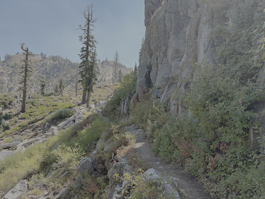
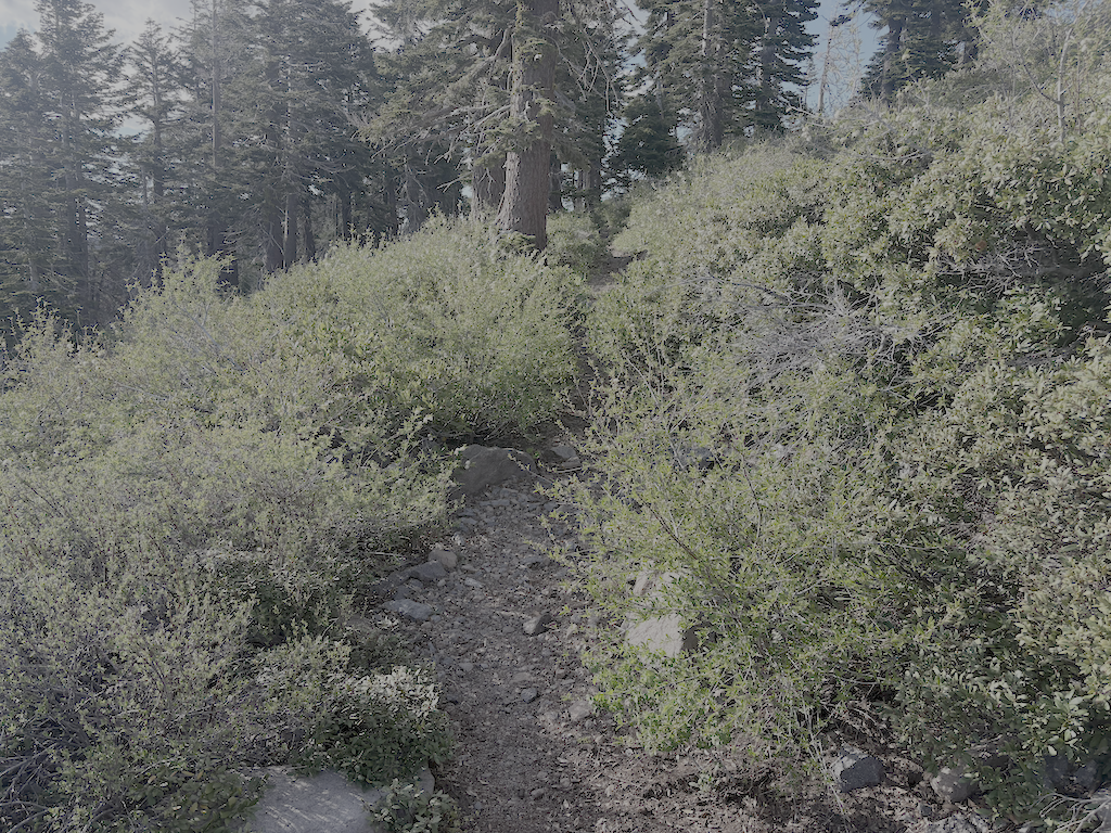
PCT brushy ridge section, starting to be overgrown

There is only one tree down before the switchbacks down to Five Lakes Creek, but on the lower switchbacks there were 29 trees down, the largest 21 inches. From the Five Lakes Trail to Whiskey Creek Trail, there is one tree down. The Whiskey Creek Trail has 16 down trees, most small. The crossing of Whiskey Creek has been further complicated by two new down trees which caused a log jam and moved the large down tree that had previously made an easy crossing. The creek is low enough for an almost dry jump, but steep banks and alder thickets make that crossing awkward.

Continuing north on the PCT, there are 34 down trees to the ‘Tevis Connector’ (this trail will be renamed but I don’t know what to). It was finally cooler in the upper Whiskey Creek basin, with the gully creek and Whiskey Creek still flowing but low. From there to the Tevis Trail / Western States Trail crossing, 5 down trees. The Middle Fork American River is flowing well.

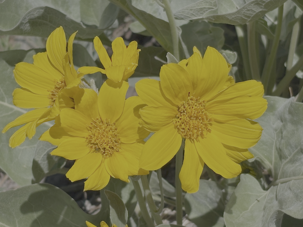
photo of arrowleaf balsamroot flowers
arrowleaf balsamroot flowers

The north slope of the Granite Chief saddle still has snow, but less than many years. The trail can mostly be followed, particularly with close reference to the mapped route. Seven trees down. I camped at the sand flat north of the meadow and Washeshu Creek, good spot for sunset and sunrise.

The next day I headed to the Granite Chief Trail, and then down to Olympic Valley. This trail is maintained by Truckee Trails, and is in good condition.

Overall, the condition of these trails surveyed is poor due to down trees. Brush is mostly OK but will need maintenance next year. Winter debris is mostly moderate, but very heavy in a few places. There are snow patches, but nothing difficult to manage. Creeks and creeklets are flowing well, though creeklets will dry out quickly. It doesn’t look like a great flower year, but that is alway uncertain. Trail use is low so far, but of course the PCT will be heavily used shortly.

Granite Chief 2026-05 Powderhorn

My first trip of the 2026 season to the Granite Chief Wilderness. This late May trip may have been the earliest I’ve been into the Granite Chief, with my first trip usually being mid-June to mid-July. This year had low snowfall and early warm weather, though there was some late snow and colder weather.

As usual, California Zephyr train to Truckee. I had tea at Dark Horse Coffee, then TART to Tahoe City and Alpenglow Sports for a fuel canister, and then TART to Kaspian Campground on the west shore. Then the walk up Barker Pass Road to Blackwood Campground, and the night. Next morning, the 4WD road to Barker Pass, then more along Barker Pass Road to the Powderhorn Trailhead. This is by far the longest entry point to a trailhead of all of the entry points. Being out of backpacking condition, and altitude acclimitization, I went very slowly and didn’t get to the trailhead until early afternoon.

I did some trail maintenance on the first part of the trail, which goes from the trailhead to Powderhorn saddle, but little progress. I attempted to cut one tree but couldn’t make the saw cuts (from top and bottom) meet, and gave up. This part of the trail is a mess, a lot of down trees and debris, which can be avoided by walking the old logging road to the saddle.

I then walked down the trail to what I call Powderhorn meadow, not an official name, which is short of the Powderhorn Creek crossing, the last part in the dark. The top part of the trail still has a number of snowbanks, one hard to cross. I was able to follow the trail across snow, though familiarity with the route helps. Someone has chainsawed out all the large trees all the way down. Though I have mixed feelings about chain saws, I can’t fault someone maintaining a trail which the Forest Service has long abandoned. It is what I try to do in my non-mechanized way. But of course there are four new large downed trees since the chainsawing last year. Three are easy to bypass. The fourth, just west of the wilderness boundary, could be bypassed by a bypass has not yet been established. Other than this one downed tree, the trail is now safe for equestrian use, which it has not been in many years. There are also a lot of small down trees and leaners (trees that are bent over into the trail but are still alive), and a lot of debris, particularly in the red fir zone.

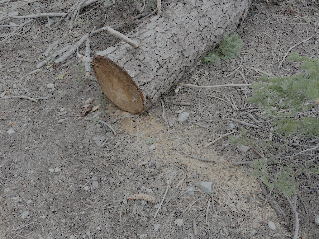
photo of chainsaw cut down tree, Powderhorn Trail
chainsaw cut down tree, Powderhorn Trail

There are quite a few flowers out, which probably got started during the warmer weather. Service berry, woolley mules ears, forget-me-not, phlox, wallflower, larkspur, violet, sanicula. Some of these are in the Flickr photos (see below).

I worked the bottom part of the trail, cutting small downed trees, brushing whitethorn, and cutting some leaners. I remove gooseberry (two species, at least) and creeping snowberry but the roots when I can, because just cutting them results in new sprouts and more sprouts the following year. The creeping snowberry is also called trip wire, because the long runners when they cross the trail and root develop a very tough stem which is the trip wire. This is very slow work, but when I can get the roots and runners out, lasts for many years. And of course removing winter debris which varies from thick to very little. But is did almost no work beyond the lower quarter, leaving much to be done higher up. I’d guess there are three to four days of work to return the trail to where is was when I last worked it in 2024. There are places, particularly high up, where conifers are encroaching on the trail, and it is very slow work cutting those back.

I cut corn lily out of the section of trail between the meadow and Powderhorn Creek. It is strange to cut perennials, which will of course come back from roots year after year, but on the other hand, the trail tread was completely obscured by plants, making it hard to find in this short section.

I did not cross Powderhorn Creek because it was high enough to be a wet crossings, but knowing the trail from past years, I would not expect any major issues between the creek and Diamond Crossing trail junction.

I notice more tread erosion from the winter than most years. I think there has been more heavy rainfall and less snow, and that leads to more tread erosion. The trail has very few water control structures, and there have always been sections with erosion issues, but it seems worse and more widespread now.

Venus and Jupiter are prominent in the west after sunset.

I returned to the saddle and trailhead, then walked Barker Pass Road, all the way down rather than the 4WD road. Mistake. The road is almost twice as long, and boring. When I went in on Friday, Barker Pass Road was gated at Kaspian Campground, and when I came out, it was gated after the creek crossing where it starts to climb. There was extensive work cutting down trees, so I assume the road will be open to the pass soon.

I met one PCT thru hikers at Barker Pass, unusually early in the season. He said he’d been on snow almost all the way through the Sierra. Most of the thru hikers will show up in mid-June, and then there will be a stream of them.

I came out a day early, so changed my return home to the Amtrak bus rather than train. Went to Dark Horse again, and ate breakfast at Squeeze In, which used to be a regular part of my trips but has not been.

I have another backpack this coming week, and it will probably be a trail survey trip so I can report on conditions on a few of the trails. Stay tuned!

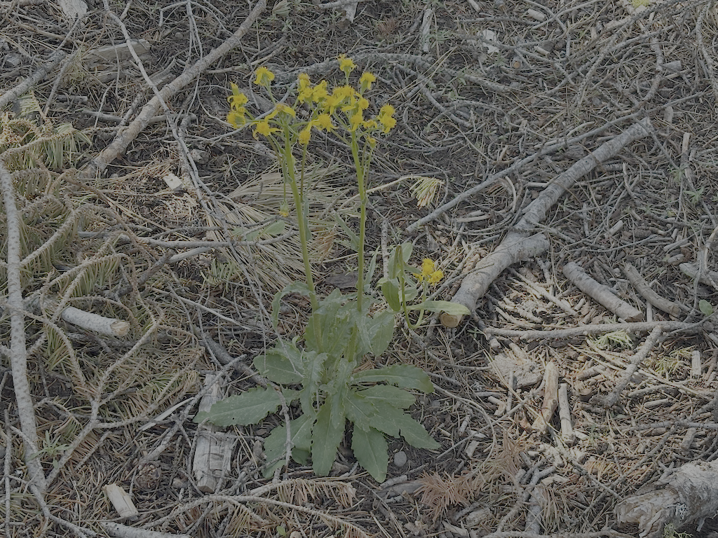
photo of western groundsel
western groundsel

Granite Chief 2025-09-13 mesas

This was my last trip of the 2025 Granite Chief backpacking season. I had another trip scheduled for this week, but the snow, and life elsewhere, got in the way.

I did not actually enter the wilderness this trip. Instead, I explored the mesas and rims south of Five Lakes Creek. Every time I head into the wilderness on the Powderhorn Trail, I also think that I should explore the mesas and rims above the wilderness. So this time I did.

I walked up Barker Pass Rd from Hwy 89, then the 4WD road toward Barker Pass. I slept on a ridge with a clear view of the sky. It must have rained quite a bit in the preceding days, as my sleeping bag was quit wet in the morning. I went the rest of the way to Barker Pass, and then along Forest Road 3 to the Powderhorn trailhead, and up to the saddle, doing some clean-up work on the trail, particularly the dense patch of whitethorn. There is one down tree larger than I could cut that makes the first part of the trail sketchy for hikers and impossible for horses, but one can use the old logging road to the saddle.

The second night I camped at an overlook to the south, on the old logging road that goes from Powderhorn saddle. Last time I walked this road, it was closed by many large down trees, and I had hopes that it would be closed forever. But the 4WD people apparently have large chain saws. But it doesn’t get much use. The flat area above cliffs had a great view of the night sky. Unfortunately, the morning revealed animal chewing on my almost new backpack, probably a chipmunk. The morning light also highlighted what a deep defile the Rubicon River makes to the south. This is a dry camp, so I gathered water from the unnamed creek that crosses Barker Pass Rd at the end of travel.

In the morning, I walked out one of the old logging roads, and then along the rim of Powderhorn canyon. The trees on the mesa are mostly mountain hemlock, but also red fir, lodgepole pine, yellow pine, and sparse but huge western white pines. I dropped off that ridge and walked out another logging road, fortunately closed at one point by large boulders, to another view into the canyon, above the postpile section.

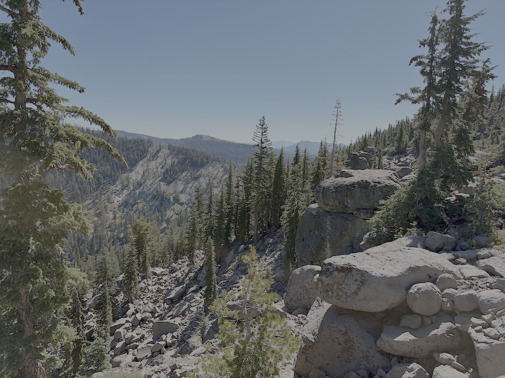
photo of Powderhorn rim

Returning to Powderhorn saddle, I did some work on the uppermost trail, mostly cutting conifers that have encroached on the trail, and trimming back manzanita. Some of the conifers are too large to cut, a result of my neglecting to cut them when they were young.

I have been beginning and ending my trips at Dark Horse Coffee in Truckee, waiting for the next TART bus south, and for the next bus or train back home. Good people there, and a nice funky atmosphere. I recommend it!

Granite Chief 2025-08-26 Hell Hole

My seventh trip of the season was a trail survey, to pick up the major trails that I had not yet visited this season.

My first day up in the mountains I went to Bluesday at Palisades Tahoe, then to Tahoe City to sleep. It rained a lot in the afternoon, but tapered off by mid-evening. I went in at Five Lakes Trailhead. It rained and hailed hard on my way down Five Lakes Creek, and I sheltered under some trees for the heaviest part. By late afternoon, it had stopped, and I made camp near Diamond Crossing at a campsite that I often use. A few red clouds at sunset. This campsite is next to Five Lakes Creek, and up against the high ridge on the north side of the creek, so the sun goes away very early, but shows on the canyon rim to the east for quite some while after.

Next day I headed down the Hell Hole Trail, from Diamond Crossing. I last used this trail, as far as Steamboat Creek, last year, but it has been since 2020 going further than Steamboat, and longer since doing any maintenance on the trail. There are more down trees than before, but most noticeable change is the thick layer of winter debris, particularly before Steamboat but throughout. It was hard to see the trail in several locations, and I found myself off the route several times. Steamboat Creek is seasonal, always dry at this time of year. The trail route which I had defined and maintained from Steamboat down to the bottom was still OK in some places, but thick with debris on many, and I lost the route here and there. Having my earlier GPS track helped. I had previously edited the Open Street Map route to combine upper and lower Hell Hole Trail, but realized on this trip that was a mistake. Upper was once maintained, and though hard to follow due to lack of maintenance, it is still accessible to horses. Lower is steeper, narrower, not at all safe for horses, and though it was constructed in a few spots, there are sections that either were not or have disappeared. Though bears are largely responsible for keeping these trails open and visible, they don’t always stay on the ‘official’ trail, and their network of trails can be confusing.

From the bottom of the Hell Hole Trail, I headed west on a trail that traverses along the north side of the reservoir, to a trailhead on the jeep road. Neither end of the trail is signed. The trail was probably constructed when the reservoir drowned the historical trail closer to the Rubicon River, but two short sections were never finished. Greyhorse Creek does not have a bridge, and the crossing is not safe for horses, nor is it safe for anyone during high water. So far as I can tell, the trail was never assigned a trail number or official name.

photo of Greyhorse Creek at trail crossing
Greyhorse Creek at trail crossing

With the reservoir way down, as it always is this time of year, I opted to hike across the bottom, much of which was a large meadow before being drowned, to Upper Hell Hole Campground. This developed campsite, with tables, grills, and port-a-potties, is mostly used by people boating in when the reservoir is up.

The next day I walked the ‘other’ Hell Hole Trail (14E02) to Hell Hole Dam. The trail has been logged out this year, though there were two down trees since the log-out, one of which is a mess to get through or bypass. But overall, good condition. There are a number of tipped-over trees with root balls intact (firs tend to snap off above the roots), mostly Jeffery pine but some others, all tipped down canyon. I wonder if there are major wind events blowing down canyon. With the same name, though different number, one might presume that the two Hell Hole Trails connected, but there is no constructed trail between the two. There are a variety of use trails, some fairly easy to follow, others not.

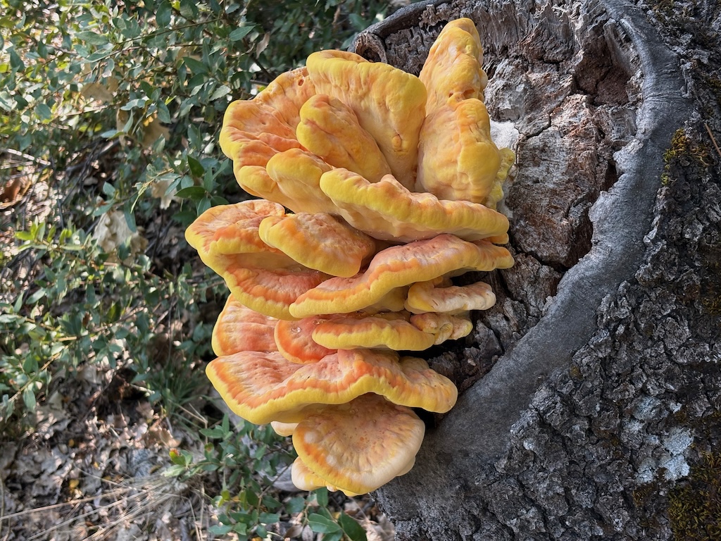
photo of shelf fungus Laetiporus
shelf fungus Laetiporus

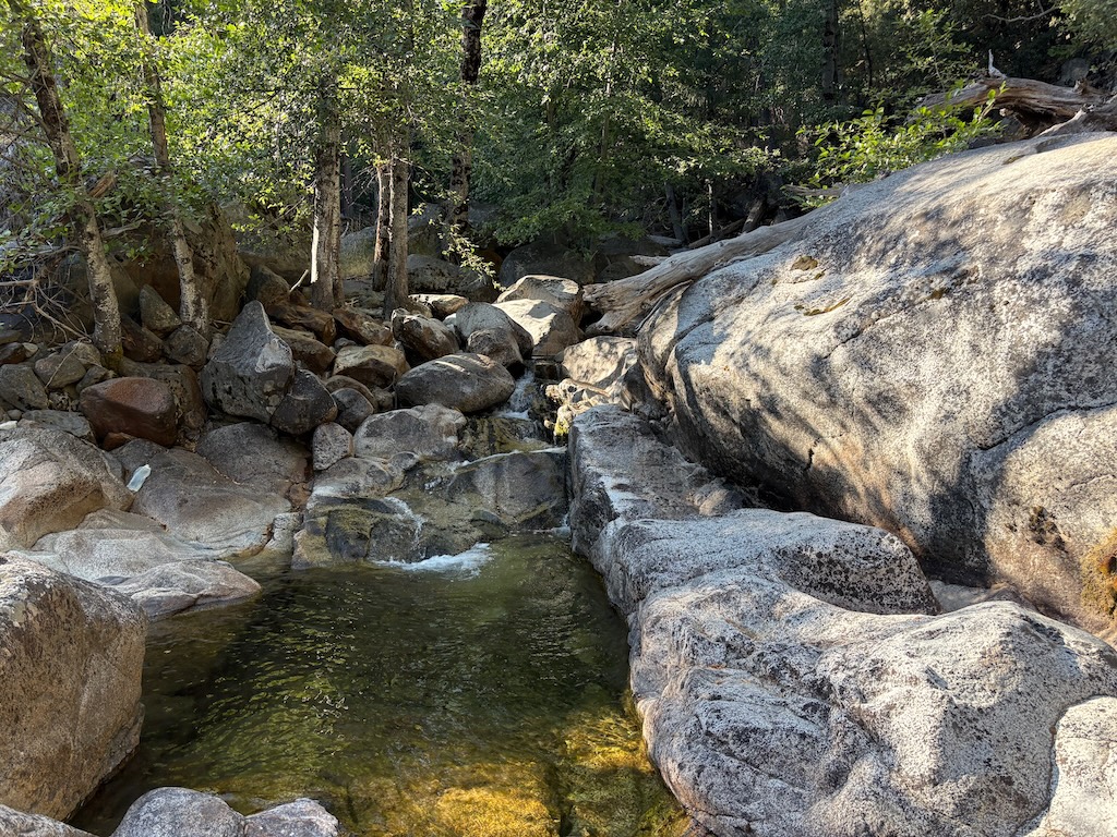
I had already decided to move my next camp up the Rubicon River a ways, and my choice was solidified when a group of jeeps arrived in the campground. I would have guessed that the campground was inaccessible by vehicle, but true jeeps (as in old and the Jeep brand), modified with crawler gears and large tires, can go almost anywhere. I camped on a bluff above the pothole section of the Rubicon, where it drops through several waterfalls and eventually down to the reservoir floor. This is all underwater when the reservoir is up.

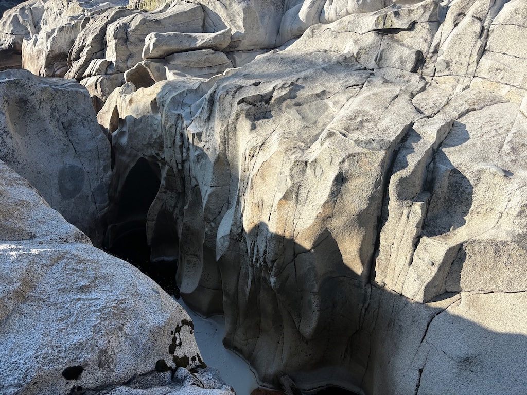
photo of Rubicon River sculpting of granite
Rubicon River sculpting of granite

Next day, I made my way on use trails to the waterfall on Five Lakes Creek, then along a trail or route that I have partially maintained, and back to the bottom of the Hell Hole Trail. Though nothing like a constructed trail, the route can be followed, except closest to Hell Hole Trail, where I have not been able to find or define a trail through the logged area. This area was helicopter logged.

I headed back up the Hell Hole Trail, able to find it a bit more often for having walked it, and then the Five Lakes Trail, and camped at Big Spring Meadow. There were other campers there. Big Spring Meadow used to be a popular destination for both hikers and horse riders, but has been seldom used the last few years. In part due to the deteriorated trails. Next day, out at Five Lakes Trailhead, hitched a ride to River Ranch, and then again to Truckee, as the TART bus was nowhere to be found.

Note on gear

I have a pair of Altra waterproof mid-height boots. This is my last time every buying waterproof boots. They work fine if water never gets in the top, but once water does, from creek crossings or rain running down legs, they do not dry. My boots were still wet five days after the earlier rainstorms, despite often stopping to try to dry them out. As a result, my feet suffered, severely, rubbed raw in a number of places, painful to walk. Altra trail shoes are the only brand that fits my distorted feet, so I will buy them again, but never waterproof versions.

I have been hiking the last few years in convertible pants, with zip-off legs. I like them, but wanted to try again wearing Patagonia baggie shorts, as I used to do. Much more comfortable hiking. The unmaintained trails on which I spent about half of this trip are not the place to be wearing shorts. Debris kept flipping up and scratching my legs. So, love them baggies, but only for maintained trails.

Note on Hell Hole area trails

The GaiaGPS maps show a 4WD road from Greyhorse Creek to the east and around the Rubicon. This is fabricated. There never was not could be a road here. There is an old road that goes up to a mine prospect, but it is no longer usable. I asked GaiaGPS about this road, and they blamed it on Open Street Map (OSM). It is not and has never been in open street map. It is a relict from some earlier map. Several areas along the Rubicon River were logged, but it was helicopter logging, not road logging.

I have looked for two trails shown parallel to lower Hell Hole Trail, 15E17 and 15E18, but have not found them. I think they were entered by someone sitting at a desk, not from someone in the field.

Though GaiaGPS claims that they load from OSM, thereby correcting these errors, this is a lie. Apparently they add new data from OSM without removing old data. So fabrications and relicts remain, year after year after year. The Buckskin Trail, two branches off of Hell Hole Trail, are another example. Not in OSM in years, and not followable on the ground, yet it remains on GaiaGPS maps. GaiaGPS has always had some problems, but since it was acquired by Outside, it has really gone downhill. So to speak.

For the trails I have created in GaiaGPS, trails that are or were recently maintained are shown in red. Trails that may have been constructed, but have not been maintained in a long while and may be difficult to follow are orange. Use routes, never constructed, and of various ease of use and visibility, are yellow.

I have a thought that someday I’ll figure out all the trails and routes in the Hell Hole and Rubicon River area, and map them correctly. I’m probably fooling myself.

Granite Chief 2025-08-20 trail work & survey

My sixth trip of the season was for trail work and trail survey.

Five Lakes Creek Trail

I completed trail work on the Five Lakes Creek Trail, from the creeklet crossing where I’d stopped last trip, to the Five Lakes Creek Trail & Big Spring Trail north junction, and then on the Big Springs Trail down to the crossing of Five Lakes Creek. There remain about 14 down trees, too big for me to cut, but I created either good climb-overs or bypasses, and in one case, a duck-under of a hanging tree. Also removed winter debris and brushed several sections, though there was less debris and brush on this second part. The trail on the west side of the crossing of Five Lakes Creek was brushed in with alder and willow, and I cleared that. At current creek levels, there is a rock-hop crossing, but at higher levels one must go upstream or downstream, which means fighting alder thickets. I was expecting the work to take two days, but it only took one, so I had a free day, and used it to re-survey the Western States Trail in Olympic Valley.

Western States Trail (Olympic Valley)

I realized after looking at my old trail track for the Western States Trail, that I had been off-route for much of my survey trip in early June. So I backpacked from Whiskey Creek where I’d camped north on the PCT, and then the Western States Trail to Watson Monument on the ridge above Olympic Valley. From that point, the trail goes south a short distance along the ridge, and then down a trail across the ski area. None of these upper trails are signed, including where it uses a short distance of road. The trail stays as high along the north-facing slope of the valley as is possible. I have no idea where the original, historic Western States trail went, if it was even in the Olympic Valley at all, but the existing designated trail is quite nice, and avoids as much of the ski area infrastructure as it can. Before Alterra bought ‘Squaw’, the old Ski Corp groomed slopes with bulldozers and dynamite, built roads wherever a bulldozer could, and maximized disturbance of the natural environment. It was a terrible company. Alterra is not perfect, but it is far better.

Where the trail crosses ski area roads, of which there are an abundance, it is usually not signed at all. There are signs, here and there, but not at every crossing or junction, and they are often not obvious, sometimes small signs high up in trees, or very old wood signs. Every time you get to a trail junction or road crossing, it is worth pausing and orienting, or you will likely end up on the wrong route.

The most confusing location, for me, was where the correct trail stays high under a cliff, and does not descend on the more used and obvious trails. On my GaiaGPS maps, I’ve marked this waypoint as ‘Jct WS stay high’. A side trail, from the marked junction ‘Jct WS access’ is signed as Western States Trail, but it is not.

When I got above Palisades Tahoe village, I broke off the trail and descended to the village, for Friday music and some rest. I was tired! The remained of the trail east to the trailhead on Hwy 89 is correct and not very confusing. And better maintained.

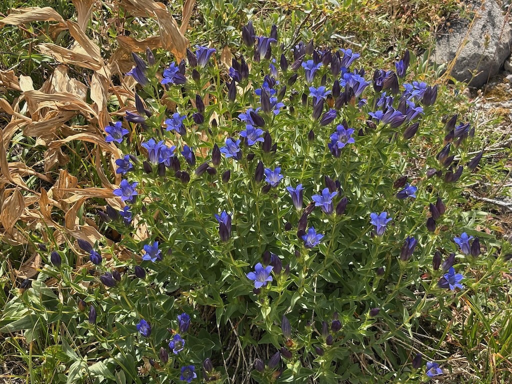
So, is this trail worth the challenge of following? Absolutely. The north-facing slope of the valley is sometimes bare rock or scree slopes, but it is also host to beautiful flower fields and clusters of trees. There are whole fields of brilliant pink rock fringe (Epilobium obcordatum, Onagraceae), which are fairly rare in this part of the Sierra crest. Gentian, probably explorer’s gentian (Gentiana calycosa, Gentianaceae), with its bright blue flowers is common, and again rare in this part of the crest.

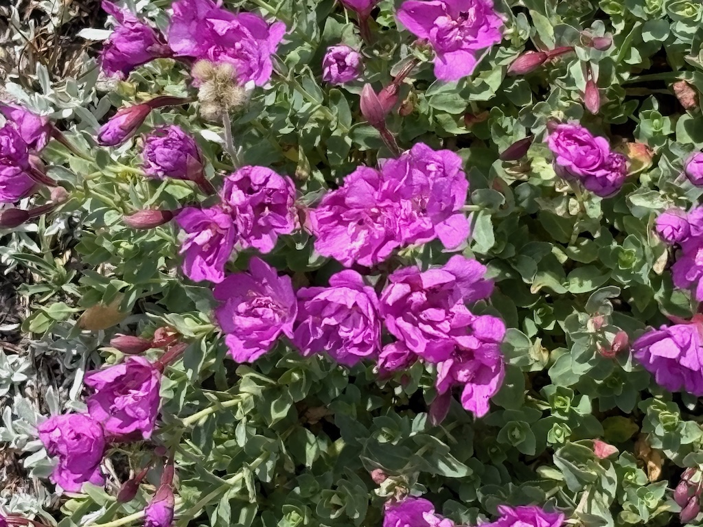
photo of rockfringe, Epilobium obcordatum (Onagraceae)
rockfringe, Epilobium obcordatum (Onagraceae)
photo of explorer gentian, Gentiana calycosa (Gentianaceae)?
explorer gentian, Gentiana calycosa (Gentianaceae)?

There is only one water source along this entire trail, at this time of year, a spring that may or may not be year-round. When I passed it, a dog was luxuriating in the cool shallow water, so I passed it up as a water source. Earlier in the year, there are many creeklets that cross the trail.

GaiaGPS and Open Street Map

Part way through my effort to make sure I had an accurate route for the Western States Trail through Olympic Valley, I realized why I was having a hard time. GaiaGPS has mis-labeled other trails as the Western States Trail, though they are not.

Which led to a closer look at GaiaGPS. The company, now owned by Outside, claims that they update from Open Street Map (OSM) on a regular basis, and if there are errors that have been corrected in OSM, they will be corrected in GaiaGPS. This is false. There are trails in GaiaGPS that have not been in OSM in years, if ever. I’m sure some of the trails are remnants from Forest Service maps, which include mistakes 20 or more years old. It may be that new information is added, but old, incorrect information is not deleted. Though I selected GaiaGPS over a number of other field mapping apps, years ago now, I’m becoming increasingly unhappy with it. Since it was bought by Outside, it has noticeable deteriorated.

I’m at work correctly labeling the Western States Trail (Olympic Valley) in OSM, but it is going slowly because I have a lot to learn about OSM and how to make edits. When I get the segments right, I’ll combine them into what is called a ‘relation’, for the whole trail from the trailhead on Hwy 89 to the junction with the Pacific Crest Trail.

Granite Chief 2025-08-05 trail work

My fifth trip of the season was primarily for trail work. As I do when I can, I attended Palisades Tahoe Bluesday on Tuesday evening, camped out on the Granite Chief Trail, and next morning headed up the trail, south on the PCT, and into the wilderness. I’ve been walking a lot on the PCT, and have ignored the needed trail maintenance. I realized that I don’t consider it my responsibility any more. There are plenty of other trails that no one else would work, and the PCT should really be maintained by people who have done the PCT, to give back to the trail that provided them their experience. The wave of PCT thru hikers has passed, but a few are still struggling northward.

Wooley Mules Ears are starting to yellow- and brown-out for the fall, while the less common Arrowleaf Balsamroot turns a brighter yellow. Here and there are touches of fall color.

I checked out the route to Little Needle Lake and basin. This trail was partly maintained and heavily used by the CCC trail crew last summer, so is now easy to follow. The junction with PCT is just south of the Middle Fork Trail junction, and is not obvious. It is not an official trail, so probably won’t ever have a trail sign. Passing the Whiskey Creek meadow, a blond and brown black bear was tearing up a dead log, apparently finding morsels to eat, but ran off when it noticed me. I’ve seen quite a number of grouse, and some quail, in addition to the ubiquitous juncos.

I camped at Whiskey Creek camp. Two other backpackers were in, using my favorite camp site. I talked a while with them, and noted that this area used to get a lot more use. I would almost always see families camped there on weekends, and others during the week. No more.

I spent the next two days working on the Five Lakes Creek Trail, south from Whiskey Creek. I brushed, removed winter debris, defined bypasses or climb-overs of large down trees, and cut a few smaller down trees and leaners. I did 1.4km, to the creeklet crossing, about 2/3 of the way to the Big Spring trail junction. My objective was to the junction, but the work was slow, particularly working snowberry which has to be taken out by the roots to keep it from bushing out the next year and blocking the trail, and gooseberry with its sharp prickles on stems and seeds. Whitethorn is past its gentle early summer phase and extract blood. The photo below is approaching the creeklet crossing. Doesn’t look like much, but it was an impenetrable thicket of alder and yearly growth before.

photo of cleared Five Lakes Creek Trail creeklet crossing
cleared Five Lakes Creek Trail creeklet crossing

A dirt bike has been ridden on the Five Lakes Creek Trail, damaging the trail tread and scarring some meadow areas. I don’t know who this is, it has happened at times I’m not in the wilderness. It may have even been a Forest Service person, as there are rogue employees who do this sort of thing. I was a wilderness ranger for years, and this deeply offends me. If I ever catch them, there will be hell to pay. The linear tracks of a dirt bike become conduits for water erosion during thunderstorms and snow melt.

I camped at ‘Squaw’ Saddle above the ‘Squaw’ Saddle Trail, overlooking Olympic Valley so I had cell phone reception to prepare for a Saturday Zoom meeting. I decided to go out through Olympic Valley to avoid walking Alpine Meadows Road from the Five Lakes Trailhead to the bus stop at River Ranch. In the morning, I followed the old ‘Squaw’ Saddle Trail down the hill. It is steep and severely eroded most of the way down to the Western States (Olympic Valley) Trail, but that trail is in good condition. I realized that on my 2025-07-01 trip, I veered off the Western States Trail, missed a trail junction, so my description of the upper part of that trail is in error. Once on the trail, I began to remember having walked this section years before. It is still not signed, but is clearly the correct trail. My route on GaiaGPS is correct, more or less. Ironically, the one Western States Trail sign provided by the ski area is incorrect, it is NOT on the WS Trail, but on an access trail to the WS. Shown below.

I have surveyed all the significant trails of the wilderness this season, except Hell Hole Trail and the related complex of paths at the bottom of the Hell Hole Trail, along Five Lakes Creek and the Rubicon River. This survey awaits a stretch of cooler weather. It was uncomfortably warm along the Five Lakes Creek Trail, 600 meters higher than Hell Hole.

photo of Western States Trail sign at the WRONG location
Western States Trail sign at the WRONG location

Granite Chief 2025-07-22 trail survey and trail work

My fourth Granite Chief trip of the season was a trail condition survey, and then work with a trail reroute group. I surveyed three of the trails which I had not done this season, the Greyhorse Trail and Shanks Cove Trail. And then joined a Western States Endurance Run trail work crew working on the Tevis Cup reroute.

I entered the wilderness from Five Lakes Trailhead (formerly Alpine Meadows Trailhead) and camped at Whiskey Creek Camp. Heading down Five Lakes Creek Trail the next day, I was able to follow the trail from north Big Spring Trail to Shanks Cove Trail, which I’d lost on my previous trip. 38 down trees, and heavy debris in many areas, but the trail can be followed with a close eye.

The southern leg of the Shanks Cove Trail, from the Five Lakes Creek Trail to the junction with Greyhorse Trail on the ridge, has not been maintained since 2009, and it shows. Many, many down trees, dating from those 16 years. Since the trail is seldom used, the lower crossing of Shanks Cove Creek is completely filled in with alder and willow, so you’ll have to find your own way. Across the creek is a deep pile of down trees and debris, obscuring the trail. It is hard to find where it starts up the rocky slope through brush, but once found, is not hard to follow. After the upper crossing of the creek, the trail climbs up the headwall to the ridge, sometimes steeply and sometimes switchbacks. Again, many down trees and areas of heavy debris. At the top of the ridge, the junction with Greyhorse Trail is signed and obvious. Enjoy the views!

I descended the Greyhorse Trail to the trailhead, which seems to have been renamed the Shanks Cove Trailhead. The trail is not too hard to follow, no worse then when I last walked it in 2008. About one-third of the down trees have been chainsawed. I’ve come to terms with accepting chain sawing by private individuals since the Forest Service has long given up on trail maintenance, but it looks as though the person who cut was riding a dirt bike, sometimes on the trail and sometimes off. More about chain saw use in a future post. The official trailhead signing is gone, but there is a user-made trailhead sign. I think the trail name is still Greyhorse, and the number 15E13, but the trailhead has apparently been renamed to Shanks Cove Trailhead on the Forest Service and other maps.

Back on the ridge, I headed on the north leg of the Shanks Cove Trail, going to the Western States Trail. There are a few down trees on the ridge, but other than one stretch through a dry meadow where the trail starts to head off the side of the ridge, easy to follow. And great views into Picayune Valley. The trail down across the volcanic bedrock is sketchy but acceptable. It drops steeply down a gully to the valley where an early season creek runs. Then up the other side, though down trees and brush fields, but the trail can be followed with care.

photo of view east from Shanks Cove Trail north section
view east from Shanks Cove Trail north section

I walked back on Western States to Whiskey Creek Camp, and slept. A long day, 27km on unmaintained trails.

The next day I went up Whiskey Creek Trail and north along the PCT. Sadly, there were bicycles ridden on the PCT the day before. At the junction with what I formerly called the Tevis Connector, and am for now calling the Middle Fork Trail, I headed down to the dry meadow beside Middle Fork American River, and set camp. With time left in the day, I explored the Tevis Cup reroute. The Middle Fork trail was worked last year and is in good condition, with two down trees. Where is meets the existing Tevis Cup Trail, there is no sign, just some ribbon. When the reroute is complete, the Middle Fork Trail will follow the old trail eastward, to a completed but hidden switchback to connect to the reroute.

I walked west on the reroute to the end of work, where the Great Basin Institute (GBI) trail crew was building switchbacks down through a mules ear meadow to eventual connection with the old Tevis Cup Trail, west of the difficult riparian and bog areas. My thought was that the Forest Service had given up on ever completing the full reroute, and was connecting to the old trail short of that, but got clarification from the WSER leaders on Saturday.

WSER Tevis Cup Reroute Project

I had signed up for a trail crew session with the Western State Endurance Run (WSER) organization. This is the lead private organization working on the reroute. I met the group of 14 at the PCT-Tevis Cup junction, and went to the work site, which is primarily the rock causeway through a wet area. Photo below, from an earlier trip. I worked on a pan through to carry a tiny creeklet, which turned out to be just the surface part of a considerable below-ground flow. A muddy mess, but the pan was build, and the beginning of the causeway extension beyond. Early afternoon the thunder boomed, it got very dark, and it rained and hailed for about two hours. The work crew set tents on tiny pieces of flat ground and waited it out, but my tent was on the Middle Fork, so I head back there. The sun came out, and I had four hours of sun to dry things, and the crew got more work done. Next morning I headed up to rejoin them and continued the work. Most of the crew was finding large rocks for the causeway, breaking up rocks into small pieces to fill the causeway and gaps, and sawing logs along the trail.

In the middle afternoon we hiked east on the unfinished reroute, then up to Watson Monument, down to High Camp, rode the tram down to the village, and ate dinner together.

I quite enjoyed working with this group of people. I had last worked with a trail crew on the Tahoe Rim Trail, about 15 years ago, and was nervous about working with people instead of by myself, but the group was welcoming and fun. They are all runners, both on the Western State and other runs, so they live in a different world than I, but are good people, and the crew supervisors were great, low key but with high expectations.

Some info about the reroute:

  • A Forest Service crew has drilled both the roughly blasted area at the east end of the reroute and many other spots to the west, and will blast sometime this season.
  • There will be two trails, the switchbacks down to the old trail, being worked by GBI, will be the horse route. The hope is that it will be complete for use next year.
  • A runner reroute will stay high all the way to Lyon Saddle, where Road 51 comes up to a trailhead. I formerly called this Foresthill Saddle, and it is on Foresthill Divide, but Lyon Saddle makes much more sense. It will take at least two more years to complete the runner route.
  • California Conservation Corps is not working this year, which will slow down the project.
  • When the reroute is complete, the trails may receive different names, hopefully less confusing.
photo of Tevis Cup reroute rock causeway