
My second backpack of the mountain season was not for trail maintenance, though I did a bit of winter debris removal. Rather, it was to see what condition the PCT (Pacific Crest Trail) and others were in.
My trip got delayed a bit, so I ended up taking the Amtrak bus rather than California Zephyr, to Truckee, then TART to Tahoe City. A short walk from the Tahoe City Transit Center is the Tahoe City trailhead for the Tahoe Rim Trail (TRT). I headed south on the TRT, through Page Meadows, and up Ward Creek to Stanford Ridge where I camped for the night. The trail to that point has been logged out and is mostly in good condition.
The next day I headed the rest of the way to the crest where the TRT joins the PCT. They are coterminous to the south. There were some snow banks but nothing difficult, and four down trees, moderate winter debris and no brush issues.
I dropped my pack near the junction, and headed south on the PCT to Barker Pass. There are 59 down trees on this section (which I call PCTf, though this is just my terminology, and unrelated to the PCT lettered sections), up to 24 inches diameter but most in the 15 to 18 inch range. Debris light to heavy, some snow patches but none difficult (the wall of snow just south of the wilderness boundary was not difficult, as it is many years). A lot of seasonal creeklets were flowing. Barker Pass Road is now open, and there were a few cars at the Barker Pass trailhead. I passed about 12 people, a few PCT thru hikers and some day hikers.
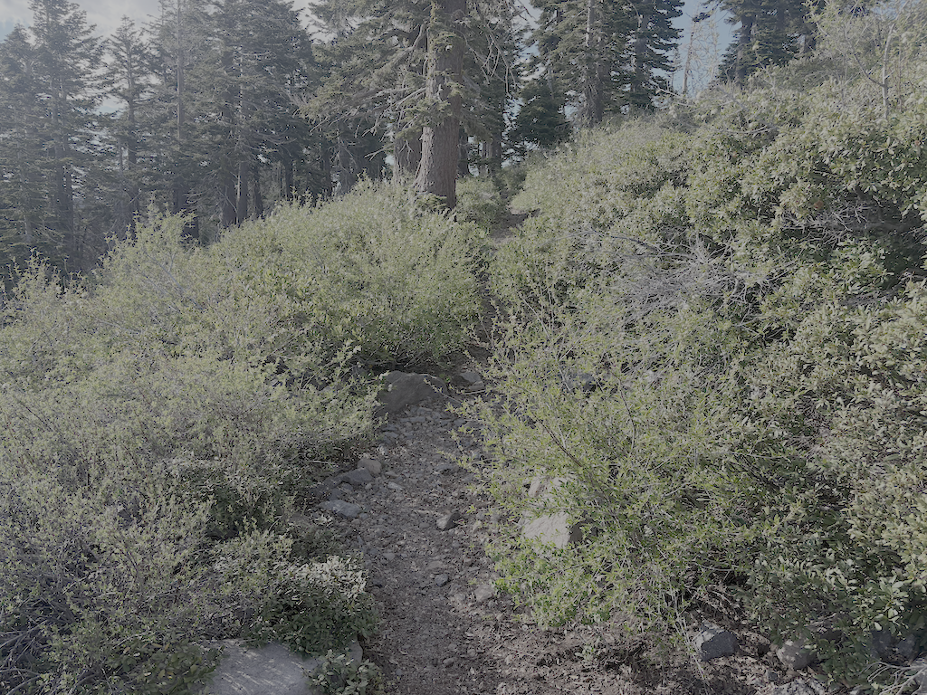
Returning to my pack, I headed north on the PCT. The brushy ridge section north of Twin Peaks is starting to close in but should be OK until next year. This section has the greatest number and diversity of flowers at this time. Safebrush is freeze burned, from not being covered with snow during very cold temperatures, and other plants lesser so. I camped at a small flat beside the trail, one of the few spots on the ridge. In the late afternoon there was warm air coming up out of Bear Pen drainage, from the high temperatures in the foothills and valley, but the wind shifted from the north and that was chilly.
There is only one tree down before the switchbacks down to Five Lakes Creek, but on the lower switchbacks there were 29 trees down, the largest 21 inches. From the Five Lakes Trail to Whiskey Creek Trail, there is one tree down. The Whiskey Creek Trail has 16 down trees, most small. The crossing of Whiskey Creek has been further complicated by two new down trees which caused a log jam and moved the large down tree that had previously made an easy crossing. The creek is low enough for an almost dry jump, but steep banks and alder thickets make that crossing awkward.
Continuing north on the PCT, there are 34 down trees to the ‘Tevis Connector’ (this trail will be renamed but I don’t know what to). It was finally cooler in the upper Whiskey Creek basin, with the gully creek and Whiskey Creek still flowing but low. From there to the Tevis Trail / Western States Trail crossing, 5 down trees. The Middle Fork American River is flowing well.
The north slope of the Granite Chief saddle still has snow, but less than many years. The trail can mostly be followed, particularly with close reference to the mapped route. Seven trees down. I camped at the sand flat north of the meadow and Washeshu Creek, good spot for sunset and sunrise.
The next day I headed to the Granite Chief Trail, and then down to Olympic Valley. This trail is maintained by Truckee Trails, and is in good condition.
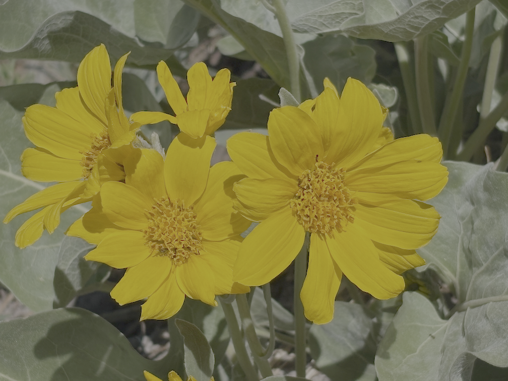
Overall, the condition of these trails surveyed is poor due to down trees. Brush is mostly OK but will need maintenance next year. Winter debris is mostly moderate, but very heavy in a few places. There are snow patches, but nothing difficult to manage. Creeks and creeklets are flowing well, though creeklets will dry out quickly. It doesn’t look like a great flower year, but that is alway uncertain. Trail use is low so far, but of course the PCT will be heavily used shortly.
- Photos on Flickr: https://www.flickr.com/photos/allisondan/albums/72177720334246791
- Granite Chief collection on Flickr: https://www.flickr.com/photos/allisondan/collections/72157637640215275/
