Tag Archives: Five Lakes

Granite Chief 2026-08-01 maintenance

This was a short trip, trimmed down from nine days to five days. I’m also a transportation advocate (Getting Around Sac) and sometimes I make the choice to focus on that. And of course all the other traveling and activities I do. But during the summer, Granite Chief Wilderness is my focus.

I went in at Five Lakes Trailhead. I went over the the lakes, which I’ve not stopped at in several years, and enjoyed my time just spacing out and enjoying the coolness. It was very hot in Sacramento, and hot in Truckee. Then on to Whiskey Creek Camp, which was my base. No one else was camped there. It used to be that any summer weekend would see at least one family camped at Whiskey Creek, but that has lessened over time. Unfortunately.

I did some work on the Western States Trail, cutting and clearing several down trees near the beginning, and removing debris. The trail is in good condition for a ways, but I know there is much more work to be done further along, and I did not get to it.

My main objective was working on the Five Lake Creek Trail south to Big Spring, but I got only about 2/3 of it finished, cutting small trees and removing debris, and a little brushing. There were a lot of new down trees since last year, many too large for me to cut. I perceive that the die off which started in the red fir zone about ten years ago has now reached the white fir zone, and a lot of trees are coming down at that lower elevation. The down trees can be stepped over or bypassed easily, except for one that has just come down. The bypasses are largely picked and defined by bears, not people. I would consider this trail maintained, and still recommend the trip down to Big Spring Meadow. Beyond there, the trail is much worse, and not recommended unless you like poor trails. And more wilderness.

In addition to whitethorn, which grows rapidly and encroaches on trails, two low growing and slower growing plants also encroach, creeping honeysuckle and various gooseberries. Cutting these back only lasts one year, as they come back strong the next year, so to keep them back for a few years requires pulling them out by the roots. Early season, this is not too hard, though a lot of detailed work. But by now the soil is dry and hard, and it is difficult to get these out by the roots. The honeysuckle in particular has a very complicated root system as it roots wherever the stems touch the ground. The big problem with the honeysuckle is that if a stem crosses the trail and roots, it produces a hard black stem that is a trip hazard, and one of the common names for this plant is trip-wire.
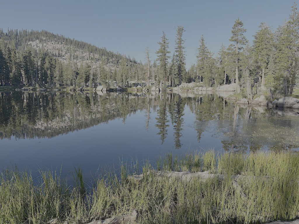
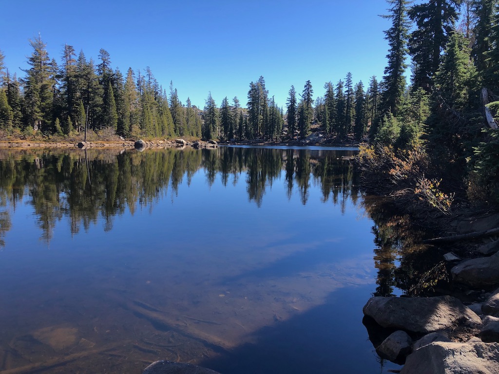
photo of Five Lake 5 reflection
Five Lake 5 reflection

I walked back past the Five Lakes (of which there are a variable number depending on time of year) to the edge above the Bear Creek headwall, and camped there. A good place to enjoy the view east, sunset color and sunrise, and the lake nearby. The moon came up blood red, from smoke off to the northeast, though the smoke was aloft and not down at ground level until the next day. Apparently smoke from Oregon fires. California has had remarkably few fires this summer, compared to all the other western states, in large part because there have been far fewer thunderstorms than most years.

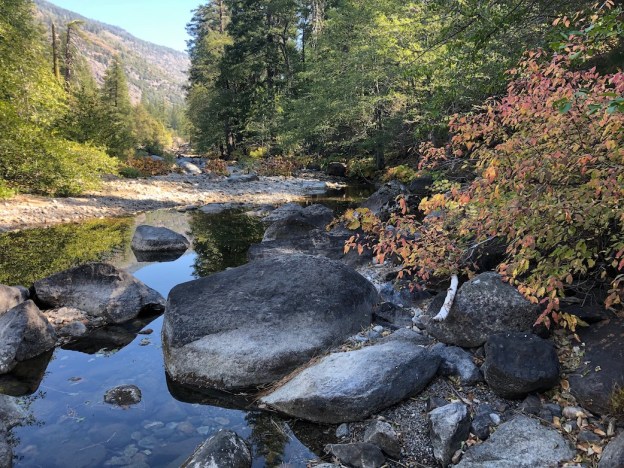
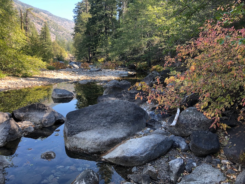
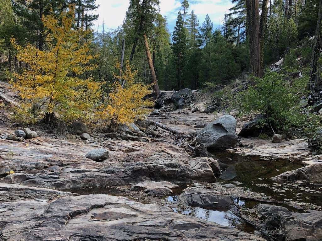
Most of the creeks and creeklets are lower for this time of year than most years. I think this is because the snow melted early, and at middle elevations, a lot of the precipitation was rain rather than snow. I think winter precipitation was only a little below normal, but the pattern was unusual. Small creeklets are almost all pooled by not flowing, or dry.

I went back out the same way. A brief stop in Tahoe City for a shower and picking up fuel canisters at Alpenglow. Alpenglow Sports is a good store, if you need supplies in Tahoe City. Then to Palisades Tahoe for Bluesday (Tuesday) for great music. Then back to Tahoe City to sleep on the lakeshore. And then to Truckee in the morning for tea at Dark Horse Coffee, and the Amtrak California Zephyr home to Sacramento.

August 1 is a cross-quarter day, one of the days in between the solstices and equinoxes, called Lughnasadh in some traditions. It is the time of year when a yellow cast begins to develop, the first of fall changes. Corn lilies are the first to change, in fact many are already dried and black by now. All the plants that will turn bright yellow or red in the fall already have tinges of color. Except the aspens, which are still green. Mosquitos are light but still present morning and evening, with flies of many species taking their place. Mosquitos were light this year, perhaps due to the early snow melt.

I have a new Nemo Tensor sleeping pad, a replacement for one that the valve failed on. This valve on this one appears to be made of a higher quality plastic, so hopefully it won’t fail. In the time it took to get the replacement, I needed some sort of pad, so I bought a Nemo Switchback, a closed cell form pad. It is great for insulation, as good at the Tensor, but of course doesn’t have the padding that my old body now prefers.

Hell Hole and Barker Creek 2020-10

My late October to early November trip into the Granite Chief included the Shanks Cove and Greyhorse trails, which I’d not been on this year, the Hell Hole trail and explorations around there, and a off-trail hike up the Rubicon River and then out Barker Creek to Barker Pass.

On my trip up to the area, I slept out near Truckee, and it was very, very cold, well below freezing, so I guess I can call summer over. After tea and breakfast to warm up, I headed into the wilderness at Alpine Meadows TH, thence to Whiskey Creek Camp. I explored around Five Lakes lake, the largest one, which is the only one with significant water late in the year, which I’d not done in years. I generally avoid this most popular destination for day hikers, but it was early and on a weekday, so I figured correctly there would be few people. It is a beautiful lake, the only really alpine looking lake in the Granite Chief.

Five Lakes main lake

From Whiskey Creek Camp I followed the Western States (Picayune Valley) trail to the junction with Shanks Cove trail, and thence up to the ridge where I camped for the night. It was much warmer up there than it had been in Truckee, though I was 650 meters higher, since cold air drains away from the ridges and towards the valleys. In the morning I walked out the Greyhorse trail to the trailhead, which is no longer marked by anything, then back to the ridge and down Shanks Cove trail to the Five Lakes Creek trail. The Shanks Cove and Greyhorse trails have not been maintained in a long while, and there are many trees down, most easy to bypass but a few not. The winter debris (which this year came mostly from high winds in the fall) is thick in many places. And brush is encroaching on the trail in many spots. On the plus side, there were small flows of water in some of the little creeks that I was sure would be dry in this dry year.

I camped near Diamond Crossing and spent time just watching the creek and seeking out the brightest fall color trees. Then down the Hell Hole trail. The two forks of Buckskin Creek were flowing a little, but Steamboat Creek was completely dry. I explored downstream, where I have found water in the past, and did not find any, but I didn’t check upstream. Steamboat is always one of the earliest creeks to dry. Down the the bottom, where there is a vague junction with the trail coming from the 4WD road at Greyhorse Creek, with the route up canyon parallel to Five Lakes Creek. I have found and maintained about half this trail, but the other half is still uncertain, just wandering through forests and finding vague traces of trail here and there.

I continued my exploration of trails and routes in the Hell Hole and Rubicon River area, trying to make sense of how they fit together. I made some progress. I walked out the official 14E02 Hell Hole Trail to the dam and across. It is not marked in any way at the trailhead, but if going in that way, one would park at the boat trailer parking lot, walk down the steps, across the dam, and to the beginning of the trail on the south side. The dam is not open to vehicles but there is a hiker gate. This trail is not much used, but is surprisingly pleasant given how close it is to the reservoir, and is decently maintained. At a point just above the Upper Hell Hole Campground, which gets very heavy use by boat-in campers when the reservoir is up and the weather nice, a connector trail goes down through the old upper campground and to the east end of the lower campground. Continuing on the main trail, it gets harder and harder to follow, but traces of it exist and seem to lead to the Rubicon River just where it narrows in its first canyon. From the eastern-most campsite, a route marked with rock ducks heads along the ridge, then down to a crossing of the Rubicon at what I call huckleberry camp (there are more red huckleberry bushes in this area than one would expect at this elevation), then back up onto the ridge between the Rubicon and Five Lakes Creek, connecting with the route from Five Lakes Creek end of the Hell Hole trail and the route that goes down to the Rubicon at the same canyon point as the possible trail. With a better understanding of how the trails and route fit together, I have updated my tracks on GaiaGPS.

Rubicon River

I then spent half a day trying to figure out where the McKinstry trail goes, but at this I failed completely. There are little fragments of trail along the Rubicon River, but they don’t seem to connect. I know that when I walked the McKinstry trail years ago, it was not that hard to follow though not maintained, but now I can’t even seem to find the place where it climbs up out of the Rubicon Canyon. So, that remains for another trip, and I still don’t know what the condition of the McKinstry trail is.

Leaving the trail finding project behind, I ventured out on a no-trail trip up the Rubicon River and then Barker Creek. The river canyon was dark and cold, probably never getting direct sunlight at this time of year, so I decided against continuing up canyon, which is beautiful, and only possible in low fall water. Instead I headed up Barker Creek, which is incredibly beautiful. There are here and there traces of a route marked by rock ducks, but it pretty much is just walking up the bottom of the canyon, walking around pools and jumping the small creek. The canyon eventually gets too rough to follow and I climbed out alongside the canyon to the more gentle terrain above. From there cross-country, and along some of the OHV trails (fortunately empty on this day), and then the PCT/TRT up to Barker Pass. And then down to Blackwood campground for the night, and out to catch the TART bus in the morning to Tahoe City.

Barker Creek,cottonwoods

I bought some gloves from Alpenglow, which I had most unfortunately forgotten on this trip, and have only some heavy waterproof gloves at home, and spent the rest of the day just enjoying Tahoe City. The following morning to Truckee, and caught the Amtrak California Zephyr home to Sacramento.

This will be my last long backpack trip (nine days) and my last mountain backpack trip of the year, but I’ll continue shorter backpack trips in the Sierra foothills and the bay area throughout the winter and spring, until next summer backpack season in the Granite Chief.

Photos on Flick: https://www.flickr.com/photos/allisondan/albums/72157716780807318; Granite Chief collection on Flickr: https://www.flickr.com/photos/allisondan/collections/72157637640215275/.

trail work on the PCT 2014-07

gcw_fivelakes-2

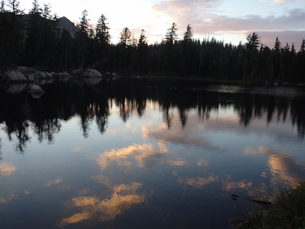
Five Lakes sunset reflection

Another missed trip.

This one was primarily a trail maintenance trip for the Pacific Crest Trail (PCT) along the ridge between Five Lakes and Twin Peaks. I went in at Alpine Meadows. Waiting until the next morning I had a chance to explore around Five Lakes which I’d not done in years, and do some brushing on the switchbacks up to the crest.

I planned on several days of trail work along the PCT between Five Lakes Creek and Twin Peaks, a section that doesn’t get maintained and tends to brush in. Ceanothus velutinus, commonly called tobacco brush, is the fastest growing brush, but other plants do their part. When I do brushing up on the crest I have to carry up enough water to camp with, so the trip up from the creek is heavy and slow. Unfortunately the blade on my loppers broke on the second day, and then on the third day the handle on my folding saw broke. These Fiskars tools are generally very reliable, lightweight, and easy to use, so this was unusual. But after completing only a portion of the work I’d hoped to, I just had to take off backpacking.

The springs in Blackwood Creek were lower than I’ve ever seen them at this time of year. I walked out Blackwood through some aspen restorations projects that seem to be having the desired effect, and caught the bus to Tahoe City. Overnighting there, I ran into a friend Jan Ellis who I’d not seen in years. Then breakfast in Truckee and home on the train.

Flickr: Granite Chief 2014-07-28