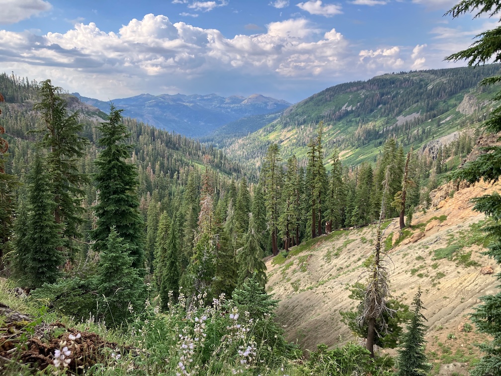
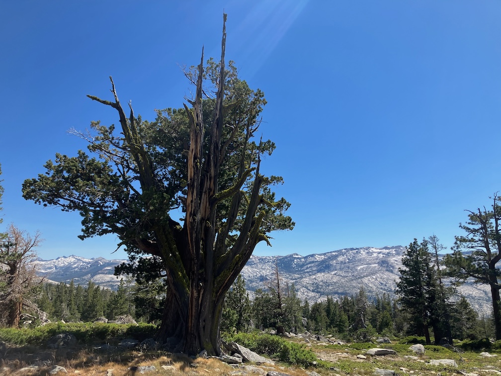
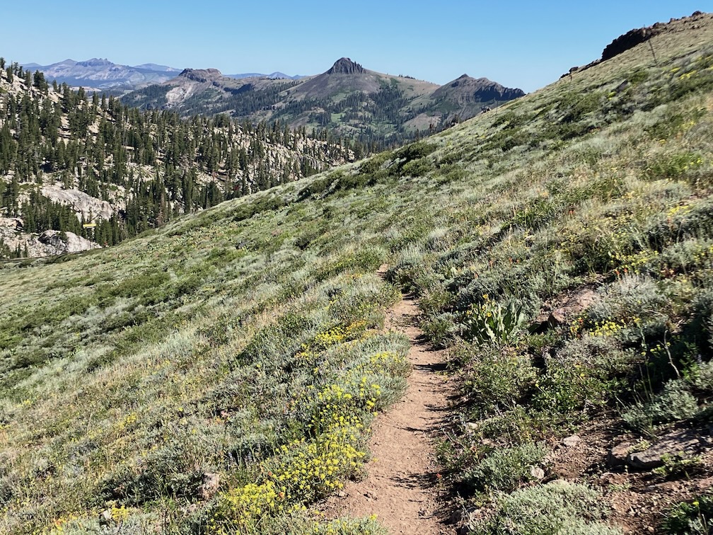
North Areas (Granite Chief Creek, north area, and Talbot Creek)
I have mapped these three areas separately, because they are not contiguous, but together they round out the north and northwest boundaries of the wilderness, protecting both pristine wilderness lands and areas that were once logged but are recovering. The three areas total 3,405 acres.
Granite Chief Creek: This is the upper Granite Chief Creek watershed. The creek is tributary to the North Fork American River. The north boundary is section lines, the south boundary is the current wilderness boundary, which is also the watershed boundary along Lyon Ridge. It is entirely Tahoe National Forest. This area is pristine wilderness, without logging or roads. It includes a little less than two miles of the Pacific Crest Trail, which is now outside the wilderness. It is 1,419 acres.
North area: This is uppermost part of the Talbot Creek watershed, which is tributary to Middle Fork American River. The north boundary is the watershed boundary, and the south boundary is the current wilderness boundary. It is within Tahoe National Forest and American River Conservancy lands. It was in part lightly logged and had logging roads, but those traces are fading, and there are no permanent roads. It is 398 acres, but the significance is greater since it would round out the upper watershed protection and protection of the Tevis Cup Trail, which were missed in the 2015 wilderness additions.
Talbot: This is another segment of the Talbot Creek watershed. The north and west boundaries are the watershed boundary of Talbot Creek, which is also the Tevis Cup Trail on Red Star Ridge. The south boundary is section lines. The east boundary is FR 51 and the Talbot Trail. It is within Tahoe National Forest and American River Conservancy lands, with a small inholding of private property, which could be excluded or acquired. Some of this area was logged and had logging roads, though there are no permanent roads. It is 1,687 acres.
My original vision was a significant northward expansion of the wilderness into wilderness-quality lands along the Pacific crest, including the Pacific Crest Trail as far as Anderson Peak, however, it turns out that Chickering American River Reserve, which I had assumed was state lands administered by University of California, is actually private lands with a conservation easement, therefore not available for designation as wilderness. I did not want to propose additions that are not contiguous to the existing wilderness.
A map is below, showing the adjacent designated wilderness and the proposed additions. It includes a section of the Pacific Crest Trail, shown on the map in orange dashed. (pdf)
My third Granite Chief Wilderness trip was for trail maintenance. My original intent was to work on either the Five Lakes Creek Trail or the Western States Trail, but on my way in, found that the ‘Squaw’ Saddle Trail, PCT-d segment (my term, not related to PCT segments), and Whiskey Creek Trail needed work, so spent my time on those.
‘Squaw’ Saddle Trail (needs to be renamed by apparently has not been renamed by Forest Service) is now in good condition. Open Street Map shows Five Lakes Trail going by the largest lake and then reconnecting with the ‘Squaw’ Saddle Trail, but signing indicates this is not an official trail. I’m calling this ‘Squaw’ Saddle Trail all the way to junction with PCT.
PCT-d, the segment between ‘Squaw’ Saddle Trail and PCT is in good condition except for one down tree that intrudes into the trail but can be stepped around. I did a lot of spot brushing on this trail, as brush was starting to encroach.
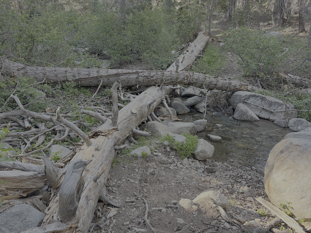
Whiskey Creek Trail was a mess. Four down trees remain, one a slide under and three with good bypasses. At the crossing of Whiskey Creek, there is a log jam where the trail once crossed. You can cross below the jam, going down the bank, using a rock hop (at current water level), and then climbing up beside boulders and willows. I removed or modified several down trees.
Five Lakes Trail is maintained by Truckee Trails Foundation, and it is in good condition. It does not maintain the section west of the largest lake, which is no longer an official trail.
Though this work was not my original intent, at least it will be easier and quicker to get to Whiskey Camp next time. One family was camped at the camp on Saturday night, but I saw no one else there. In times past, it was rare that there was not a group, or many groups, at Whiskey Camp, but use seems to have tapered off.
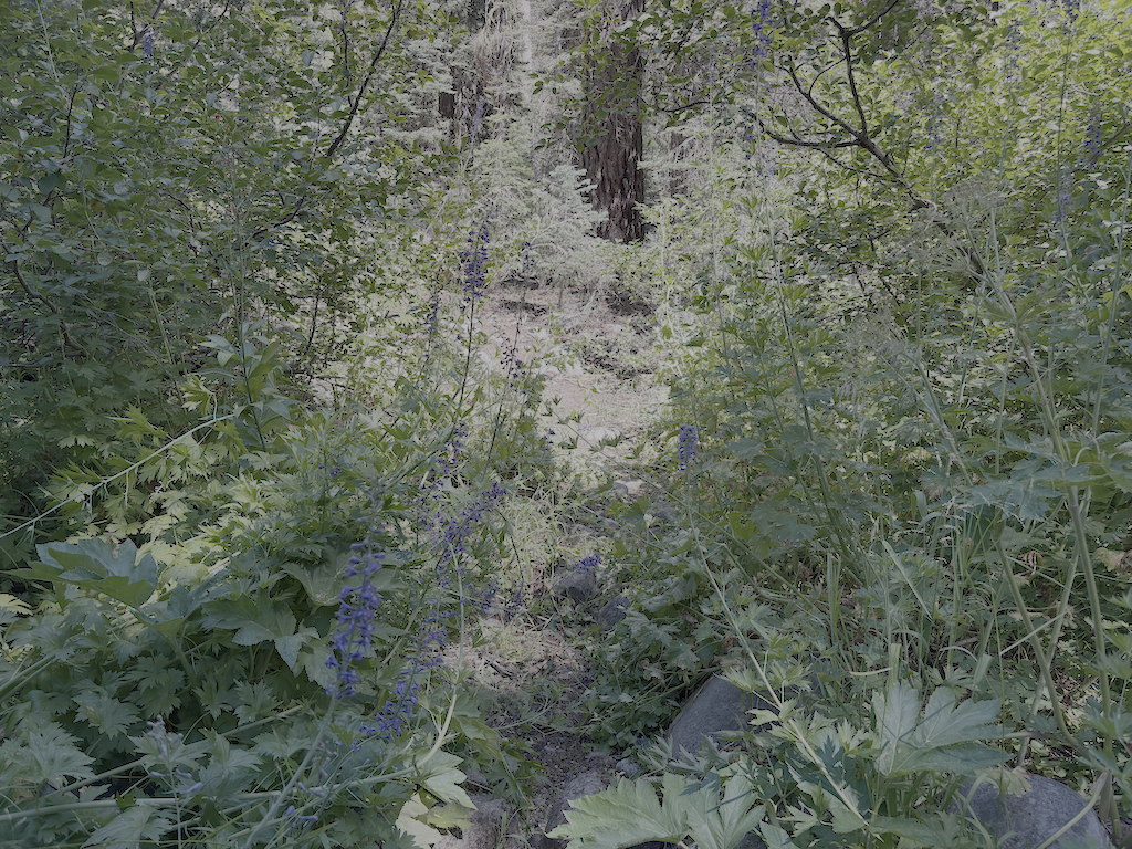
I spend a lot of time pulling creeping honeysuckle or creeping snowberry (Symphoricarpos mollis) out by the roots. The hiker name for this plant is tripwire, as the vines root, creating segments that harden into a black, very strong trip wire. If it crosses the trail and roots, it is a clear hazard to hikers. I have been tripped up a few times, even though I am quite aware of the plant. Cutting the vines simply produces more vines, so taking it out by the roots is the only solution that lasts more than one year. Strangely, I don’t have a photo of the trip wires. The snowberry shrub (Symphoricarpos albus) also has tough stems, but doesn’t grow low to the ground. On the PCT section, huckleberry oak, whitethorn, and sagebrush were the most common plants crowding the trail.
Mosquitos are present, but not abundant. There are probably as many flies, but I did not see the large one with green eyes that bites a chunk out of you.
It rained for a half hour or so on Thursday morning
Sunday morning was a magical cloud day, a great one for lying on the back and making animal shapes of the clouds. It eventually thickened, and there was a smattering of rain on my way out.
Granite Chief Wilderness was established in 1984 with the California Wilderness Act, at about 24,000 acres (97 km2). About 10,000 acres were purchased by American River Conservancy under the Granite Chief Wilderness Campaign, some of which were added to the wilderness after restoration, mostly putting an old and barely passable road to bed (see new wilderness boundary), bringing the wilderness acreage to 28,374 (114 km2).
But there are extensive areas contiguous with the existing wilderness that are of wilderness character that I believe should be added to the wilderness. Some sections of the Pacific Crest Trail are not in the wilderness, when they could easily be with slight boundary adjustments. Some of the additions are pristine wilderness, and some are areas that were logged but are healing and could be added now or in the future.
I believe in wilderness, not just for the recreational value, but as areas we set aside for nature to flourish and heal, where we interfere little if any in natural processes. This has become all the more important with climate change and all the related issues including insect die-off and red fir die-off. When we have the opportunity to expand existing wilderness areas, we should. As our use of non-wilderness lands intensifies, we need to balance that will additional wilderness. The Granite Chief is one of those areas.
So, I will post a series on my proposed additions. It is a lot of work to look closely at maps and on the ground to develop recommendations, and then map them accurately. I’m using ArcGIS Pro to do this, and investigations on the ground. The posts may stretch out over a couple of years, and I’m guessing there will be at least six. When the series is complete, I’ll create a single map showing all the additions together.
Caveats
Some of the areas I’m proposing have been logged, many of them just before or just after the wilderness was established. I don’t believe that it will be economically possible, and questionably, environmentally responsible to log these areas again. The distance from the forest to remaining mills is just too great. Barker Pass Road was originally meant to go across Five Lakes Creek watershed to Mosquito Road and to mills in Foresthill or Placerville, but that will never happen, and those mills are long gone.
That is not to say there could not be fuel reduction projects, and perhaps some of these areas should be treated before inclusion in wilderness. Because of the misguided Forest Service policy of immediate suppression of lightning caused fire, even when far remote from human development, there are overstocked forests and years of debris on the forest floor, a conflagration waiting to happen. In the lower elevation forests, this is a completely unnatural, dangerous, and human-created condition. In the red fir and hemlock forests at higher elevations, it is not clear to me what the natural fire regime was or should be.
There are also logging roads associated with that logging. Almost all of these have deteriorated to be 4WD, not accessible for most recreationists, and are used primarily by off-road type users. This, in my mind, is not a valid use of National Forest lands. As an example, old logging roads on the mesas above Five Lakes Creek valley were closed for a while by downed trees, allowing nature to recoup and the peace and silence to return (see Granite Chief 2025-09-13 mesas). The views from the edge of the mesas are incredible, but the vehicle use here is not of that purpose, it is just for using vehicles. Unfortunately 4WD users with heavy chain saws and long bars managed to cut the trees out and return the roar of engines and tearing up of road surfaces. I have no sympathy for this.
Blackwood Creek & Ward Creek addition
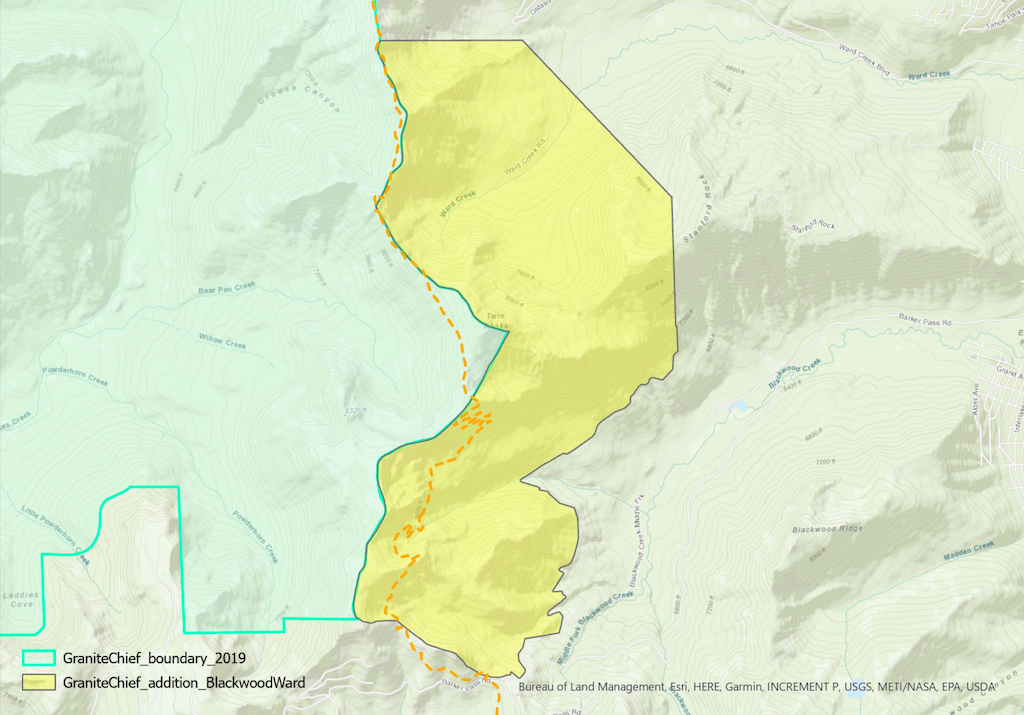
The first area I’m recommending I call the Blackwood Creek and Ward Creek addition. It is within the drainages of Blackwood Creek and Ward Creek, which are tributary to Lake Tahoe. It would not result in any road closures. It includes some logging and fuel reduction areas in both watersheds, but these are healing fairly well, with the access roads having been long closed. It also includes much pristine wilderness lands.
The area is about 3,825 acres. A map is below, showing the adjacent designated wilderness and the proposed addition. It includes a section of the Pacific Crest Trail, shown on the map in orange dashed. (pdf)
My second backpack of the mountain season was not for trail maintenance, though I did a bit of winter debris removal. Rather, it was to see what condition the PCT (Pacific Crest Trail) and others were in.
My trip got delayed a bit, so I ended up taking the Amtrak bus rather than California Zephyr, to Truckee, then TART to Tahoe City. A short walk from the Tahoe City Transit Center is the Tahoe City trailhead for the Tahoe Rim Trail (TRT). I headed south on the TRT, through Page Meadows, and up Ward Creek to Stanford Ridge where I camped for the night. The trail to that point has been logged out and is mostly in good condition.
The next day I headed the rest of the way to the crest where the TRT joins the PCT. They are coterminous to the south. There were some snow banks but nothing difficult, and four down trees, moderate winter debris and no brush issues.
I dropped my pack near the junction, and headed south on the PCT to Barker Pass. There are 59 down trees on this section (which I call PCTf, though this is just my terminology, and unrelated to the PCT lettered sections), up to 24 inches diameter but most in the 15 to 18 inch range. Debris light to heavy, some snow patches but none difficult (the wall of snow just south of the wilderness boundary was not difficult, as it is many years). A lot of seasonal creeklets were flowing. Barker Pass Road is now open, and there were a few cars at the Barker Pass trailhead. I passed about 12 people, a few PCT thru hikers and some day hikers.
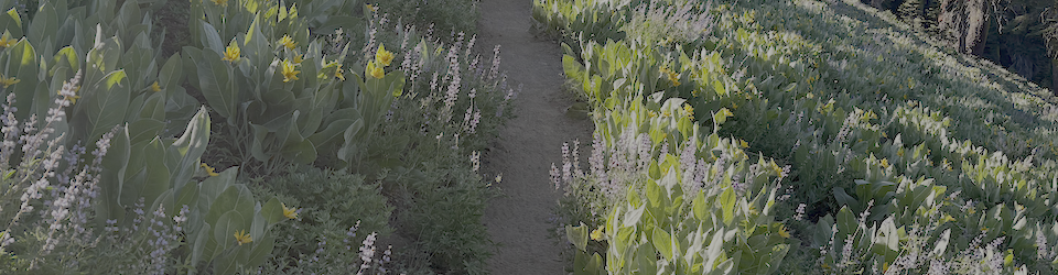
Returning to my pack, I headed north on the PCT. The brushy ridge section north of Twin Peaks is starting to close in but should be OK until next year. This section has the greatest number and diversity of flowers at this time. Safebrush is freeze burned, from not being covered with snow during very cold temperatures, and other plants lesser so. I camped at a small flat beside the trail, one of the few spots on the ridge. In the late afternoon there was warm air coming up out of Bear Pen drainage, from the high temperatures in the foothills and valley, but the wind shifted from the north and that was chilly.
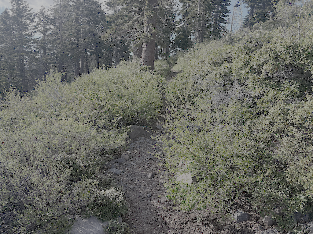
PCT brushy ridge section, starting to be overgrown
There is only one tree down before the switchbacks down to Five Lakes Creek, but on the lower switchbacks there were 29 trees down, the largest 21 inches. From the Five Lakes Trail to Whiskey Creek Trail, there is one tree down. The Whiskey Creek Trail has 16 down trees, most small. The crossing of Whiskey Creek has been further complicated by two new down trees which caused a log jam and moved the large down tree that had previously made an easy crossing. The creek is low enough for an almost dry jump, but steep banks and alder thickets make that crossing awkward.
Continuing north on the PCT, there are 34 down trees to the ‘Tevis Connector’ (this trail will be renamed but I don’t know what to). It was finally cooler in the upper Whiskey Creek basin, with the gully creek and Whiskey Creek still flowing but low. From there to the Tevis Trail / Western States Trail crossing, 5 down trees. The Middle Fork American River is flowing well.
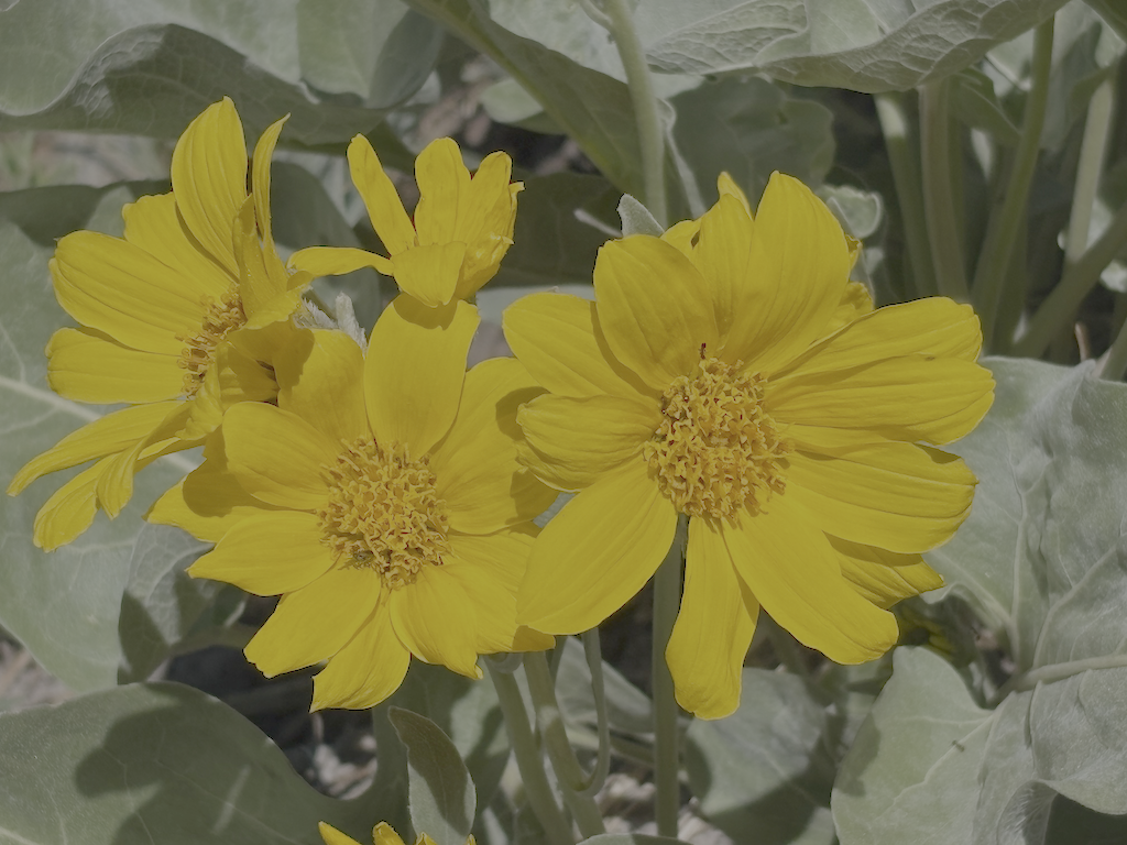
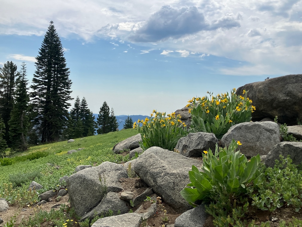
arrowleaf balsamroot flowers
The north slope of the Granite Chief saddle still has snow, but less than many years. The trail can mostly be followed, particularly with close reference to the mapped route. Seven trees down. I camped at the sand flat north of the meadow and Washeshu Creek, good spot for sunset and sunrise.
The next day I headed to the Granite Chief Trail, and then down to Olympic Valley. This trail is maintained by Truckee Trails, and is in good condition.
Overall, the condition of these trails surveyed is poor due to down trees. Brush is mostly OK but will need maintenance next year. Winter debris is mostly moderate, but very heavy in a few places. There are snow patches, but nothing difficult to manage. Creeks and creeklets are flowing well, though creeklets will dry out quickly. It doesn’t look like a great flower year, but that is alway uncertain. Trail use is low so far, but of course the PCT will be heavily used shortly.
My fifth trip of the season was primarily for trail work. As I do when I can, I attended Palisades Tahoe Bluesday on Tuesday evening, camped out on the Granite Chief Trail, and next morning headed up the trail, south on the PCT, and into the wilderness. I’ve been walking a lot on the PCT, and have ignored the needed trail maintenance. I realized that I don’t consider it my responsibility any more. There are plenty of other trails that no one else would work, and the PCT should really be maintained by people who have done the PCT, to give back to the trail that provided them their experience. The wave of PCT thru hikers has passed, but a few are still struggling northward.
Wooley Mules Ears are starting to yellow- and brown-out for the fall, while the less common Arrowleaf Balsamroot turns a brighter yellow. Here and there are touches of fall color.
I checked out the route to Little Needle Lake and basin. This trail was partly maintained and heavily used by the CCC trail crew last summer, so is now easy to follow. The junction with PCT is just south of the Middle Fork Trail junction, and is not obvious. It is not an official trail, so probably won’t ever have a trail sign. Passing the Whiskey Creek meadow, a blond and brown black bear was tearing up a dead log, apparently finding morsels to eat, but ran off when it noticed me. I’ve seen quite a number of grouse, and some quail, in addition to the ubiquitous juncos.
I camped at Whiskey Creek camp. Two other backpackers were in, using my favorite camp site. I talked a while with them, and noted that this area used to get a lot more use. I would almost always see families camped there on weekends, and others during the week. No more.
I spent the next two days working on the Five Lakes Creek Trail, south from Whiskey Creek. I brushed, removed winter debris, defined bypasses or climb-overs of large down trees, and cut a few smaller down trees and leaners. I did 1.4km, to the creeklet crossing, about 2/3 of the way to the Big Spring trail junction. My objective was to the junction, but the work was slow, particularly working snowberry which has to be taken out by the roots to keep it from bushing out the next year and blocking the trail, and gooseberry with its sharp prickles on stems and seeds. Whitethorn is past its gentle early summer phase and extract blood. The photo below is approaching the creeklet crossing. Doesn’t look like much, but it was an impenetrable thicket of alder and yearly growth before.
cleared Five Lakes Creek Trail creeklet crossing
A dirt bike has been ridden on the Five Lakes Creek Trail, damaging the trail tread and scarring some meadow areas. I don’t know who this is, it has happened at times I’m not in the wilderness. It may have even been a Forest Service person, as there are rogue employees who do this sort of thing. I was a wilderness ranger for years, and this deeply offends me. If I ever catch them, there will be hell to pay. The linear tracks of a dirt bike become conduits for water erosion during thunderstorms and snow melt.
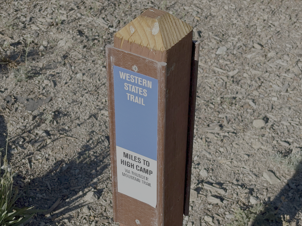
I camped at ‘Squaw’ Saddle above the ‘Squaw’ Saddle Trail, overlooking Olympic Valley so I had cell phone reception to prepare for a Saturday Zoom meeting. I decided to go out through Olympic Valley to avoid walking Alpine Meadows Road from the Five Lakes Trailhead to the bus stop at River Ranch. In the morning, I followed the old ‘Squaw’ Saddle Trail down the hill. It is steep and severely eroded most of the way down to the Western States (Olympic Valley) Trail, but that trail is in good condition. I realized that on my 2025-07-01 trip, I veered off the Western States Trail, missed a trail junction, so my description of the upper part of that trail is in error. Once on the trail, I began to remember having walked this section years before. It is still not signed, but is clearly the correct trail. My route on GaiaGPS is correct, more or less. Ironically, the one Western States Trail sign provided by the ski area is incorrect, it is NOT on the WS Trail, but on an access trail to the WS. Shown below.
I have surveyed all the significant trails of the wilderness this season, except Hell Hole Trail and the related complex of paths at the bottom of the Hell Hole Trail, along Five Lakes Creek and the Rubicon River. This survey awaits a stretch of cooler weather. It was uncomfortably warm along the Five Lakes Creek Trail, 600 meters higher than Hell Hole.
Second trip of the season, July 1 to 6, 2025. As always, I got to and from the wilderness using Amtrak train or bus from home in Sacramento, and the TART bus south from Truckee to Tahoe City. No need to drive!
I started at the Western States trailhead on Hwy 89 at the Truckee River bridge. I’m calling this the Western States (Olympic Valley) Trail to distinguish it from the Western States Trail through Picayune Valley. Both parts have the same trail number, 16E10. There is parking on the east side of the bridge, and a sidewalk on the bridge to the west side, where the trail starts. The first part of the trail is very well maintained, by Truckee Trails Foundation, and includes some new signing. As the trail crosses into Palisades Tahoe ski area, the trail is not as well maintained, and there is almost no signing for the trail, making it hard to follow. There were actually more signs when I last hiked it in 2021. Some parts are trail, some parts are on ski area roads. Nevertheless, I made it to Watson Monument on the ridgeline, and then descended to the PCT at the PCT/Tevis Cup Trail/Western States Trail junction.
Western States Trail (Olympic Valley) in Tahoe Palisades
I proceeded south on the PCT to Whiskey Creek Trail and then camped near but not at Whiskey Creek Camp. The PCT has not been maintained this year, so has down trees, light to heavy winter debris, and brush in some areas.
The primary purpose of this trip was to do trail maintenance on the Western States Trail. I had done a little last year, and continued, working west from the camp. There were two very thick brush areas, one of whitethorn and aspen, and the other of whitethorn. Whitethorn is much softer at the beginning of the season, but gets harder and sharper as the season goes on. It is not too hard to cut now, but later will exact a revenge in blood. I also cut a number of small down trees. Ten larger ones remain, but now with bypasses or step-overs. I worked as far as the creek crossing, which is a tributary to Five Lakes Creek, and the only water on the the trail before it drops into Picayune Valley. Only 1.4km of progress, but satisfying. I’ll likely continue on Western States next trip. I continue to be very happy with my Silky Big Boy folding saw and Fiskars nippers.
down trees at Whiskey Creek crossing
After completing as much as I could, I returned to the PCT and headed south, camping on the ridgeline at one of the few flat spots. The tread has a lot of loose rock, particularly from Ward Peak south for a mile, and has some brushy spots. The section where I have spent many trail work trips keeping brushed out is starting to close in again, but should be OK until next year.
At the Tahoe Rim Trail (TRT), I headed out through Ward Creek to the road, and thence to Sunnyside. Lunch at the store, and bus to Tahoe City, for shower, pizza, concert, and sleep.
I have been buying a few things at Alpenglow Sports in Tahoe City. I can get the same, often less expensive, at REI, but since I’m in Tahoe City at the beginning or end of every backpack trip, it is actually more convenient to go there than the Sacramento REI which is in a car-infested part of Sacramento. And they are good, knowledgable people.
Check the Trail Conditions page for specific info on each of the trails that I walked.
My first Sierra backpack of the season! Rode to Truckee on the California Zephyr, and then Olympic Valley on the TART 89 bus. I enjoyed Palisades Tahoe Bluesday, then hit the trail to sleep out. Went up the Granite Chief Trail, which is largely in good condition. I took a side trip north on the PCT to North Fork American River, and then a short way down the Painted Rock Trail. A reader had asked me about that trail, so I wanted to at least know if it was still there and findable. It is, though hard to follow and not used so far this year. I’ve not used that trail in many years, but the challenge was the wet areas with alder and willow thickets where is was hard to follow the trail.
Then headed south on the PCT, I was intending to traverse north to south as a survey trip. But my attention was grabbed by the Tevis Cup Trail reroute, which I’d written about last year in Granite Chief 2024-08 trail survey. There is no evidence of trail crews there this year, and information on Western States Endurance Run indicate that funding was canceled or held as part of the Trump destruction of the Forest Service. I walked the east end, which is more or less as it was last year, though one blast area has been reconstructed. The middle part is a bit more polished than last year, and extends a little further west though a meadow. I had been told last year that the flagging extended all the way west, but I was not able to follow it past a alder and willow riparian area, so it may or may not exist. I gradually descended through open forest and small meadows to rejoin the existing trail near the switchbacks (the nearly-flat switchbacks). I headed out to the trailhead at Forest Hill Divide (as I call it, it doesn’t seem to have an official name) where the Tevis Cup Trail continues west along the ridge, heading eventually to Auburn.
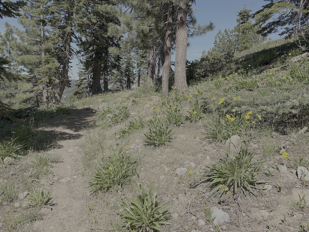
Tevis Cup Trail and flowers
Walked down the Talbot Creek Trail, which was constructed a few years ago, some following an old logging road and some newly constructed. It has a nearly-flat switchback section as well, probably the same designer. The trail is not much used. The southern end trailhead is not marked by any signage, nor is the junction of Forest Road 51 with French Meadows Road, which leads to the trailhead.
After a rest at Talbot Campground, I headed back into the wilderness on the Western States Trail, my favorite trail and location in the wilderness. There are a lot of trees down, joining those already down from previous years. And a lot of winter debris, heavy in some areas. Crossing Middle Fork American River is close to a rock-hop, but still wet. I used a log downstream. The wet areas beyond, particularly in the aspen grove areas, have dense growth that obscures the tread, though your feet can find it, and branches hidden away to trip you. Other than an area on the switchbacks to the saddle, and descending to Whiskey Creek, brush is not bad.
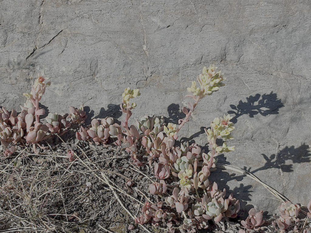
Sierra stonecrop
I passed a group of eight backpackers headed along the Western States trip from Whiskey Creek, which is about as many as I usually see in a year. The crossing of Whiskey Creek has another tree down, blocking the rock-hop, but the large tree that has been down for several years makes a good crossing. Whiskey Creek Trail has a few rotted down trees, and one new small, otherwise in good condition. I camped north of the ‘Squaw’ Saddle Trail, at the divide between Five Lakes and Olympic Valley. With runners in the area for three events, including the Western States Endurance Run the next day, there were runners all over the place. Most place names have been changed away from ‘squaw’ but I don’t know if the trail name has been. This trail descended into Olympic Valley, and is the original trail route before the Five Lakes Trail was constructed.
Walked out the Five Lakes Trail, which is in good condition, caught the bus to Tahoe City, grabbed some items at Alpenglow Sports, best in the area, then back to Truckee on the TART bus, to Word After Word for a book, to Dark Horse Coffee in Truckee for tea, reading and writing, and then the Amtrak bus home to Sacramento. Whew!
Though plans are never certain, and I often change my mind, I think my next two trips are going to be for trail maintenance on the Western States Trail. Survey trips on the other trails will have to wait. It was hot enough at Talbot Campground/Trailhead, 1722m, that I think my trip on the Hell Hole Trail to the end at 1439m will get delayed until September, though I’m always looking for cooler stretches of weather.
This was a ‘didn’t go as planned’ trip. My plan was to do a lot of trail work on the Powderhorn Trail.
Train to Truckee, bus to Tahoe City and then Barker Pass Rd. I had hoped to hitch-hike to Barker Pass, but it was a weekday in the afternoon, and all the vehicles were going out, not up, so after a short hitch to the campground, I walked up the jeep road to the pass and then to Powderhorn trailhead. On my way up on the train, people were commenting on the smoke plume to the south, which turned out to be the Crozier fire north of Placerville. When I got to Powderhorn saddle, the plume was quite visible and spectacular, overhead. I started down into the canyon, but in short order the smoke descended into the canyon, reducing visibility to less than a quarter of a mile. I went back up to the saddle and camped there, where the air quality was a little better.
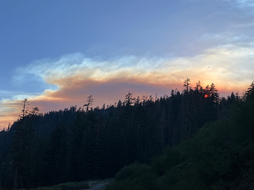
Crozier fire smoke plume
In the morning, smoke was filling Powderhorn, so I waited, and walked west on the old logging road to the creek, refilled water, and then back along the Barker Pass Rd to the saddle. The air cleared mid-morning, so I headed down and started my trail work. I have a new folding saw, which I’ll say more about next post, that allowed me to cut some down trees that I’ve always had to bypass, plus a little spot brushing. And then the smoke descended again, worse than before. So I headed out, and went to Barker Pass where the air was better, camped, and waited to see what would happen. Both the Rubicon drainage to the west and the Tahoe basin to the east were socked in with smoke in the morning. I realized that the only thing to do was head south on the PCT, away from the smoke plume. I was surprised by the number of PCT thru-hikers I saw, seems late in the season for them to be here.
By Richardson Lake, the air was good, and continued to get better on the PCT south. Looking back north, I could see that the smoke had descended into the valleys again, so if I’d tried again, I would have gotten smoked out again. There are a few patches of snow in the Crystal Range, but much less than two weeks ago. I spent time at my favorite juniper along the PCT, and then headed down into the General Creek drainage.
The connecting trail from PCT down to Genevieve Trail (which used to be called the General Creek Trail) is not really a trail. It was never constructed, has a lot of down trees, and is very hard to follow in places. This time of the season General Creek is just large pools with no flow, so is easy to cross, but I’ve had problems with that earlier in the season. I camped near the trail junction. This is a seldom used area. In the morning I headed over to Genevieve Lake, on a trail in decent shape with some down trees but easy to follow.
The Meeks Creek Trail (also called Tahoe Yosemite Trail on many maps, but it is a relict name) is a different world, only wilderness in name. Suddenly a whole lot of people, and more and more heading down Meeks Creek and out to the trailhead near Meeks Bay Resort. After iced tea, to Sugar Pine Point SP for a shower, then on to Tahoe City and Truckee, and the Amtrak bus home.
For my second trip to the Granite Chief, I took the Amtrak bus up to Truckee, then TART to Palisades Tahoe. Attended Bluesday, the weekly blues music. The band was Mark Hummel, famous, so the event was packed. I camped off the old Granite Chief Trail at a place that I’ve settled in on for sleeping out after the music. In response to getting chewed by mosquitos on my last trip, I brought my inner tent with mosquito netting, though the mosquito clouds had fallen off to some degree.
As always, I checked the weather forecast for Tahoe City when deciding what to take. The forecast was zero percent chance of rain. But while going from Granite Chief Trail to Whiskey Creek Camp, it rained for about two hours, moderate rain, from a thunderstorm with lightning and thunder. It stopped late afternoon, and I was able to stay somewhat dry by sheltering in a hollow dead tree. There was a preview when it rained lightly for a short time the night before. In fact, it rained a bit every night on the trip, while every day the forecast was the same, zero percent chance of rain. Either these thunderstorms were happening just over the ridges, not over weather stations, or the weather forecasting has failed.
On this trip I had several negative interactions with trail runners. The rule, though not the law, is that downhill people yield to uphill people. But runners seem to think they have the right of way over everyone else. One runner actually ran into me and knocked me off the trail. Several other runners said I should get out of their way. So I’ve adopted a new policy for myself: I don’t yield to trail runners. If they insist on having a negative physical interaction with me, I’ll knock them off the trail.
The morning after the thunderstorm, there were helicopters up with water buckets, first a small helicopter, and then a heavy-lift dual rotor helicopter. I’m not sure whether they were fighting a single location or more than one, because the fire was over the ridge from me.
The Forest Service, with this suppression-at-all-costs policy, is harming the wilderness ecosystem. Every fire that gets put out the same day is a fire that cannot reduce the fuel build=up. The wilderness will burn, that is inevitable, and when it burns, it will be a catastrophic, forest-clearing fire. Why? Because the Forest Service has suppressed fire and allowed fuel to build up to a completely unnatural level. Fire is part of the natural environment. I realize that it may be necessary for fires close to towns to be suppressed, and the fuel reduction function replaced by mechanical reduction, but the fire being suppressed was in the middle of the wilderness, not close to any human habitation. There have been trends over the years towards letting wilderness fires burn, and away from that, and the last few years there was a trend toward fire, but for some reason this year, all that progress has reversed and we are back to suppression-at-all-costs. The Forest Service, and the wilderness, will regret that.
Wyethia mollis, Asteraceae
I worked the Whiskey Creek Camp trail, the short segment between the PCT and the camp, brushing and removing winter debris. This is the time of year to be cutting whitethorn, as it is soft with winter moisture. When it dries out more later in the season, it becomes hard and stiff, and draws a lot of blood from trail workers.
I still call the branches on the trail winter debris because it used to fall almost entirely during the winter and show up at snow melt, but in a sense it is a misnomer now, because dead red firs are coming down year-round now. In the Granite Chief, there are areas where more than half the red firs are dead, and other areas in which only a few are. Though not current, and focused on the northwest, the article Massive die-off hits fir trees across Pacific Northwest has some information. Apparently the die-off is not from a single cause, but a variety of factors. In any case, red firs are falling and will continue to fall, the trunks laying across trails and the dead branches scattered everywhere. Fire is not common in the red fir forest, so I can’t say whether suppression is contributing the the die-off or not.
I headed down Five Lakes Creek Trail to Diamond Crossing. This trail is worse every time I use it. It has not been logged out in more than 12 years, and there are more down trees every year, in some places I have to scramble up and down over several trees in a row, and the tread in between is covered with branches from the fallen trees. I get very frustrated by this trail and every time I use it, I wonder why I even try. I’ve not counted down trees recently, but it must be over 100. Use of this trail has dropped off over the years as other people abandon it as well. There are some footprints, but fewer every year.
I camped at my favorite spot beside Five Lakes Creek.
Powderhorn Canyon
Next day I did a half day of trail maintenance on the Powderhorn Trail. I’d planned on more, but ran out of motivation and energy. As I said last year, the upper third and lower third of the trail are in decent shape, but the middle third is in poor condition and getting worse. My tool set is nippers and a fanno saw, but by Fiskars, so quality and fairly lightweight. But I have no tools to tackle down trees larger than about four inches, so anything large gets ignored. Sometimes I can clear a path to and from the down tree, so at least it is easy to step over without getting feet tangled in debris. One large tree, that has been down for years, is a slide-under tree. I had built a bypass of this tree last year, useable by trail-wise stock, but a red fir fell directly on the bypass and it is beyond me to clear it again. So the trail is yet again closed to equestrian use.
I hiked out to the Powderhorn Trailhead, then to Barker Pass, down the jeep road to Blackwood Canyon, and out the next morning to catch the TART bus to the Amtrak bus to home.
Water is abundant so far this year. In addition to the larger creeks, many smaller creeks and creeklets that are not year-round are still carrying water.
My Thermarest NeoAir sleeping pad has been deflating during the night for quite a while. I’ve got to find the leak and fix it.
Yes, I’m still here. I’ve been backpacking a bit in the bay foothills and Bay Area, but this is my first backpack of the season in the Sierra.
I took the TART bus to Sugar Pine Point State Park, which is the end of the route. It used to go a little further, to Meeks Bay, and there used to be a shuttle that went all the way to South Lake Tahoe, but no more. I hiked up the General Creek Trail, and then a side trip to Lost Lake where I camped the night. Lost Lakes gets bicyclists, but few backpackers. The trail was rerouted, and it needed it, but it was laid out by mountain bikers so is not that pleasant to hike. But the lake is beautiful and quiet.
The next day I went south along General Creek. This used to be called the same General Creek Trail, but apparently has been renamed the Genevieve Trail. Last time I was there, years ago, the trail was impassible with down trees, but it has been maintained and there are only a few down trees now. The trail is easy to follow except in a few wet areas where the annual lush growth has obscured the trail. There is a steep connector trail heading west up to the PCT, where I turned north. I spent some time at my favorite tree, that I call The Juniper, and then continued north past Richardson Lake, across Miller Creek (still flowing in early July), and then up to Barker Pass where I camped the night. A long day!
Juniperus occidentalis, Pinaceae
From Barker Pass I continued north along the PCT/TRT, and camp at Whiskey Creek Camp, and the next night near the Tevis Connector trail.
To my surprise, the PCT has been brushed from the PCT/TRT junction to the Middle Fork American River crossing south of Granite Chief (a small creek at this point near the headwaters). I don’t know who did the brushing, maybe Forest Service, maybe Pacific Crest Trail Assocation, but it was a professional job, not the rough work done by one-off volunteers crews. I had figured to spend at least a week, maybe two, brushing this section, so now I can focus on other trails. Trees were also cut, but there a a few new ones down.
I continued north and then down the Granite Chief Trail to Olympic Valley. Music at Palisades Tahoe in the evening, sleep out up the trail a ways, and catch the TART bus back to Truckee. The train was quite late, and I had a meeting to make, so I returned to Sacramento on the Amtrak bus rather than California Zephyr.
Water: Almost every creek is flowing well, so I was able to stay stocked up and hydrated with no problem. There were a few snowbanks left, on and adjacent to the trail.
Insects: This year is what used to be an average mosquito year, though we have not had an average year in many years. I did not have my inner tent, the mosquito netting, with me on this trip, so had to hide out under my shirt at night. At lower elevations there were more flies than mosquitos, some of them biting flies. While at Lost Lake I expected to see bats munching mosquitos, but did not see a single one. The ecosystem is out of whack in the Sierra.
PCT thru hikers: It is thru hiker season, and there are a lot of people on the trail, heading north to Canada, or as far as they make it. There were also a few TRT hikers, most heading south rather than north.
I am having difficulty getting to labeling photos and posting in between trips, so my trip reports may be erratic during the summer. One day back home is not enough to clean and repack, and post. And I’ve been taking some other trips in between, like San Francisco and Oakland this last weekend (July 20-21). Ah well.