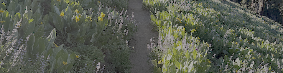
My fourth Granite Chief Wilderness trip of the season was a survey trip. It was also intended to be a trail maintenance trip, working with the Western States Endurance Run (WSER) trail crew on the Tevis Cup reroute, but I injured myself crossing Talbot Creek, and had to bow out of that part.
I went in on the Granite Chief Trail from Olympic Valley. Though this is a nearly 600km climb to the PCT, it is still one of my favorites since it it only a short walk from the bus stop (Clock Tower in Palisades Tahoe) to the trailhead. There are three new trees down on the trail since it was logged out earlier in the season. I headed south on the PCT and camped at what I call Sand Flat, which is a large flat area along the trail that was also being used by many, many PCT thru hikers. It is just north of Washeshu Creek crossing, so easy access to water.
Next day I headed south along the PCT, where some trees have been cut but some remain. I talked with two American Conservation Experience (ACE) trail crews, a small one doing brushing and tread work on the PCT heading north, and a larger one doing trail polishing on the Tevis Cup reroute, west from the existing trail. These trail crew are an AmericanCorps program, so participants receive a stipend but are volunteers. Their tools were packed in by the Forest Service.
I then continued south on the PCT, which has been logged out but I don’t know by whom, to the Middle Fork Trail. This is not an official name, and I used to call it the Tevis Connector, but it may well end up with this name. I walked down across the Middle Fork and up to the existing Tevis Cup trail, and up to the reroute, then back along the reroute to the PCT. I talked briefly to Matt Bromley, the Forest Service person in charge of the reroute project, who works for American River Ranger District.
I then continued south on the PCT, with 27 down trees, no change from my previous trip, and to Whiskey Creek Trail, and then to the Western States (Picayune Valley) Trail. There are 130 down trees between Whiskey Camp and Talbot Trailhead. Many are small, but there are also many large. Some parts of the switchbacks below the saddle are very brushy, almost brushed closed (whitethorn). Except for these issues, the trail is overall acceptable. I met an eastbound backpacker on the trail, and we were both surprised to see each other. Though many people day hike in from Talbot TH, and some people do overnight camps in the middle bedrock section, the trail is overall little used.
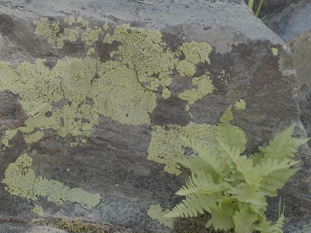
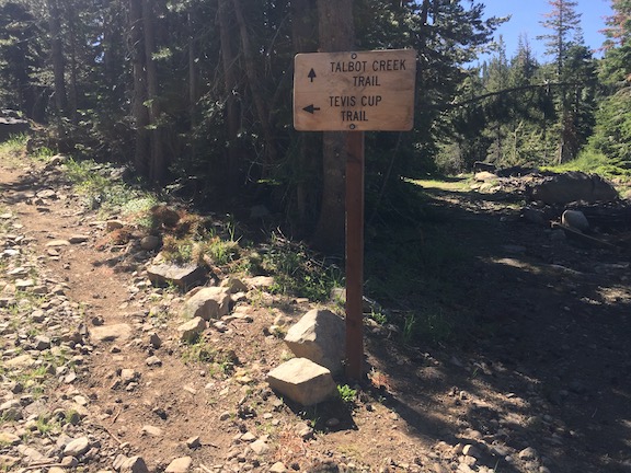
From the trailhead I went north on the Talbot Trail. There were 44 down trees, many in the lowest section, with light to very heavy debris. Talbot Creek is dry at the trail crossing, no unusual, though it flows above and below. High up, nearly to the Tevis Cup junction, a branch of Talbot Creek crosses the trail and is low but flowing. I saw no sign of anyone else using this trail. It has not been maintained since it was constructed. It serves mostly as a connector, not a destination, though the view from the open ridge about 2/3 of the way up is quite nice.
I met the Western States Endurance Run trail crew leaders at Lyon Saddle, and had some interesting conversations. By Saturday morning it was clear that I really had injured myself crossing Talbot Creek, and it was going to be a slow recovery, so I bailed out of the weekend work party. WSER is working in from the west end of the Tevis Cup reroute. If you like trail work and want a crew to work with, consider WSER. There are five work weekends remaining this year. Though some of the crew are returning, and have a lot of trail construction experience, it is not required, and the group is very welcoming, and fun. All tools are supplied.
From the saddle I hiked back eastward, partly on existing Tevis Cup Trail, and partly on the mostly completed section of the reroute. I have not hike the entire existing trail in several years, since I detest the boggy and up and down and up and down middle section, which the reroute will avoid. I continued out to Olympic Valley, to Truckee for the day, and then home on the Amtrak bus. I’ve been going to Dark Horse Coffee for several years on every trip, beginning or end or both, and have recently discovered jalapeno cheddar bread at Cornerstone Bakery. I don’t just go backpacking, I also enjoy Truckee and Tahoe City.
- Photos on Flickr: https://www.flickr.com/photos/allisondan/albums/72177720334741393
- Granite Chief collection on Flickr: https://www.flickr.com/photos/allisondan/collections/72157637640215275/
 Granite Chief Wilderness