
My first trip of the 2026 season to the Granite Chief Wilderness. This late May trip may have been the earliest I’ve been into the Granite Chief, with my first trip usually being mid-June to mid-July. This year had low snowfall and early warm weather, though there was some late snow and colder weather.
As usual, California Zephyr train to Truckee. I had tea at Dark Horse Coffee, then TART to Tahoe City and Alpenglow Sports for a fuel canister, and then TART to Kaspian Campground on the west shore. Then the walk up Barker Pass Road to Blackwood Campground, and the night. Next morning, the 4WD road to Barker Pass, then more along Barker Pass Road to the Powderhorn Trailhead. This is by far the longest entry point to a trailhead of all of the entry points. Being out of backpacking condition, and altitude acclimitization, I went very slowly and didn’t get to the trailhead until early afternoon.
I did some trail maintenance on the first part of the trail, which goes from the trailhead to Powderhorn saddle, but little progress. I attempted to cut one tree but couldn’t make the saw cuts (from top and bottom) meet, and gave up. This part of the trail is a mess, a lot of down trees and debris, which can be avoided by walking the old logging road to the saddle.
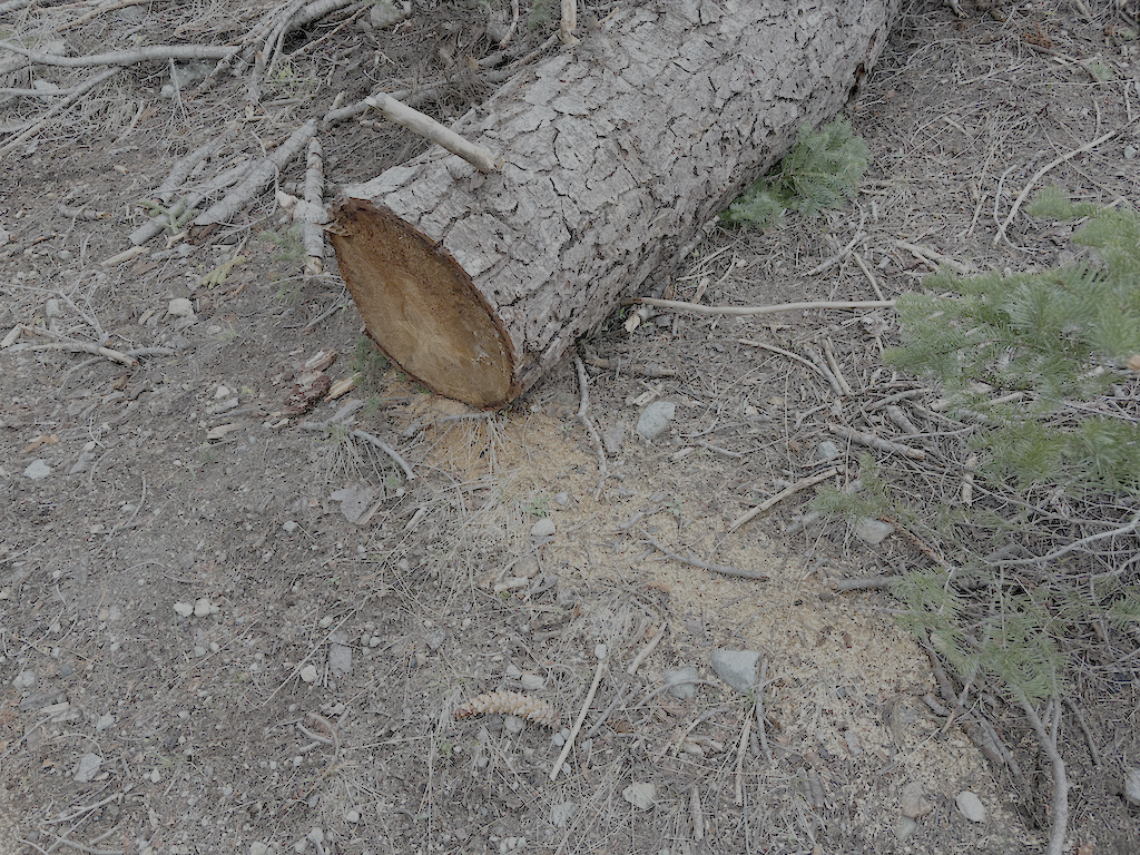
I then walked down the trail to what I call Powderhorn meadow, not an official name, which is short of the Powderhorn Creek crossing, the last part in the dark. The top part of the trail still has a number of snowbanks, one hard to cross. I was able to follow the trail across snow, though familiarity with the route helps. Someone has chainsawed out all the large trees all the way down. Though I have mixed feelings about chain saws, I can’t fault someone maintaining a trail which the Forest Service has long abandoned. It is what I try to do in my non-mechanized way. But of course there are four new large downed trees since the chainsawing last year. Three are easy to bypass. The fourth, just west of the wilderness boundary, could be bypassed by a bypass has not yet been established. Other than this one downed tree, the trail is now safe for equestrian use, which it has not been in many years. There are also a lot of small down trees and leaners (trees that are bent over into the trail but are still alive), and a lot of debris, particularly in the red fir zone.
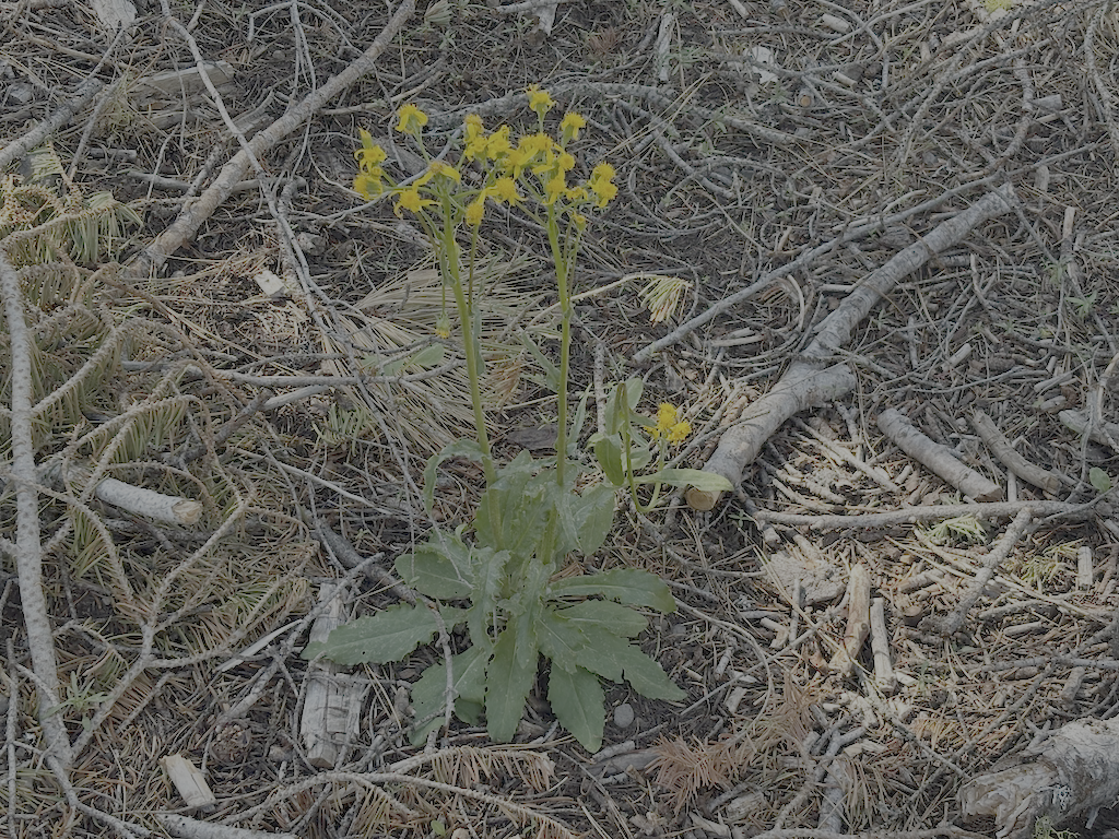
There are quite a few flowers out, which probably got started during the warmer weather. Service berry, woolley mules ears, forget-me-not, phlox, wallflower, larkspur, violet, sanicula. Some of these are in the Flickr photos (see below).
I worked the bottom part of the trail, cutting small downed trees, brushing whitethorn, and cutting some leaners. I remove gooseberry (two species, at least) and creeping snowberry but the roots when I can, because just cutting them results in new sprouts and more sprouts the following year. The creeping snowberry is also called trip wire, because the long runners when they cross the trail and root develop a very tough stem which is the trip wire. This is very slow work, but when I can get the roots and runners out, lasts for many years. And of course removing winter debris which varies from thick to very little. But is did almost no work beyond the lower quarter, leaving much to be done higher up. I’d guess there are three to four days of work to return the trail to where is was when I last worked it in 2024. There are places, particularly high up, where conifers are encroaching on the trail, and it is very slow work cutting those back.
I cut corn lily out of the section of trail between the meadow and Powderhorn Creek. It is strange to cut perennials, which will of course come back from roots year after year, but on the other hand, the trail tread was completely obscured by plants, making it hard to find in this short section.
I did not cross Powderhorn Creek because it was high enough to be a wet crossings, but knowing the trail from past years, I would not expect any major issues between the creek and Diamond Crossing trail junction.
I notice more tread erosion from the winter than most years. I think there has been more heavy rainfall and less snow, and that leads to more tread erosion. The trail has very few water control structures, and there have always been sections with erosion issues, but it seems worse and more widespread now.
Venus and Jupiter are prominent in the west after sunset.
I returned to the saddle and trailhead, then walked Barker Pass Road, all the way down rather than the 4WD road. Mistake. The road is almost twice as long, and boring. When I went in on Friday, Barker Pass Road was gated at Kaspian Campground, and when I came out, it was gated after the creek crossing where it starts to climb. There was extensive work cutting down trees, so I assume the road will be open to the pass soon.
I met one PCT thru hikers at Barker Pass, unusually early in the season. He said he’d been on snow almost all the way through the Sierra. Most of the thru hikers will show up in mid-June, and then there will be a stream of them.
I came out a day early, so changed my return home to the Amtrak bus rather than train. Went to Dark Horse again, and ate breakfast at Squeeze In, which used to be a regular part of my trips but has not been.
I have another backpack this coming week, and it will probably be a trail survey trip so I can report on conditions on a few of the trails. Stay tuned!
- Photos on Flickr: https://www.flickr.com/photos/allisondan/albums/72177720334024313
- Granite Chief collection on Flickr: https://www.flickr.com/photos/allisondan/collections/72157637640215275/
