One of my purposes of my Picayune Valley and Shanks Cove trip earlier this year was to create GPS tracks for the Western States and Shanks Cove trails. In the area of the saddle between the Five Lakes Creek basin and Picayune Valley, the trail alignment shown on the National Geographic Trails Illustrated maps is incorrect. It turns out, now that Trimble Outdoors has added National Forest roads and trails as an available overlay in MyTopo Maps, that the Forest Service base maps are incorrect.
My first trip of 2013 in the Granite Chief did not come until past mid-July. This is despite the fact that with the early and mild winter, I could probably have started backpacking in May. But my life if busy.
I headed in at Alpine Meadows Trailhead, and walked over the saddle to Whiskey Creek Camp the first night. I’m amazed going in here how many people there are day hiking on this trail, even late into the evening. I’ve heard that busy summer days see 5000 people on this trail, almost all of them dayhikers and only a few backpackers. No one was at Whiskey Creek Camp, even though it was a Saturday night in mid-season.
A cross-posting from my personal blog, on my recent walk on the Western States Trail from Squaw Valley to Auburn, which of course included about 20 miles in the Granite Chief Wilderness.
My next trip is in the Mokelumne Wilderness (not posted), where I’ve not been in five years, and then back to the Granite Chief.
Had another wonderful five day backpack in the Granite Chief last week. A lot of the trip was just re-visiting places I’d been before, some of them not in several years though.
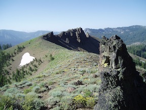
As a new trip I went to Little Needle Lake which I’d heard other people mention but not been to. It is a shallow, alder and willow bordered lake in the volcanic rock below Little Needle Peak. It is a pretty setting, with soggy wet meadows surrounding the lake and a spectacular cliff above. The route is is a vague trail, and there are some seldom used campsites at the lake. To avoid the thick mosquitos at the lake, I camped to the north on a granite bench, where there were some really cool trees and a great view of the end of the day down the Middle Fork American River canyon. The next day I headed up onto the ridge and south, following the divide between Picayune Valley and Five Lake Creek, eventually reconnecting to the Picayune Valley trail a little east of where it climbs out of Picayune Valley. The ridge does not have a trail, but the going was pretty easy, with great views and a different perspective than I’ve gotten elsewhere.
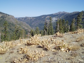
Dried Wooley Mules Ears at head of Picayune Valley
I finally got to Picayune Valley, which rounds out my effort to see all the trails of Granite Chief. I came in from Alpine Meadows trailhead, which is the fastest way into the wilderness, went through Whiskey Creek Camp, and camped at the saddle above Picayune Valley.
Late in the day as it was getting dark, the shadows beneath the red firs were deep but the meadows still light.
Approaching dark Trail through red firs Darkness between the trunks Thick and soft
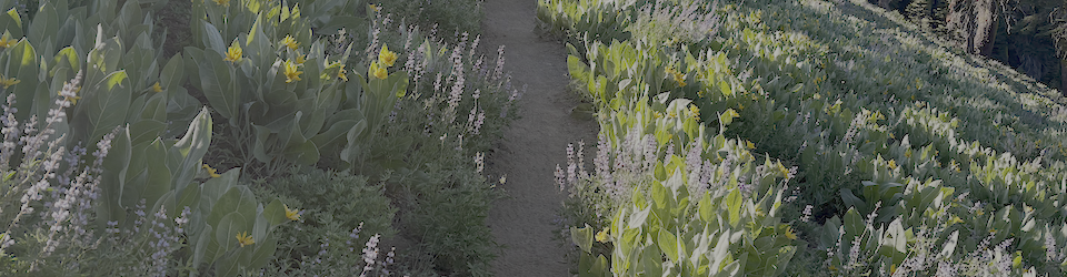
Then out into the meadow Wooley mules ears Radiate the warm yellow sunlight They’ve captured during the day