Tag Archives: Granite Chief Trail

First trip 2012-06

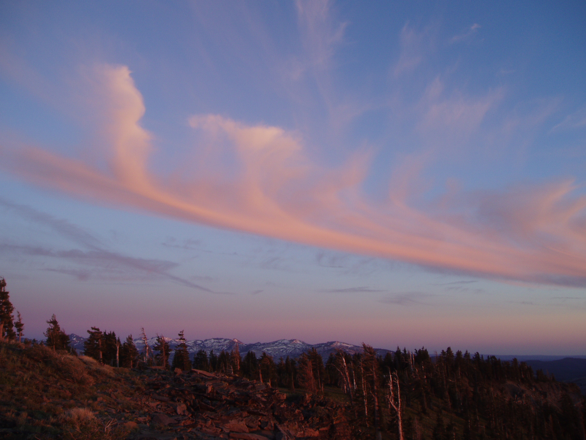
jetstream clouds at sunset

I did my first trip through the wilderness June 24-27. How much difference a year makes! Last year, a month later, I was crossing regular patches of snow on the trail, and sometimes walking on snow for long distances, but this year I only crossed a couple of patches. Last year the creeks were so high that they were difficult or impossible to cross, this year all were easily crossed.

I went in at Granite Chief Trail, and did an afternoon’s work brushing the trail, and then much of the next day. I’ve completed the portion to about half way up where the trail crosses a creek near a mules ears meadow. Probably another day’s work yet to do to finish it off to the top. Huckleberry oak, white thorn, and pine mat manzanita have died back in a number of places along the trail. Is it from too much snow last year, or too little this year, or some other reason? I camped out on a granite ledge that hangs over Squaw Creek canyon, but slept very little with the wind howling all night.

Continue reading →
Through the watersheds

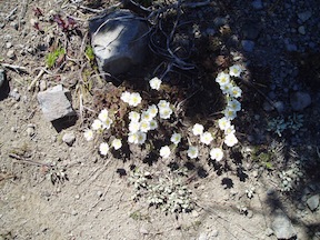
Drummond’s Anemone, near Little Needle Peak

I had a great six day trip through the Granite Chief Wilderness, plus some additional country to the north. I went in at Alpine Meadows Trailhead, and out at Squaw Valley Trailhead, with at least 67 miles in between.

Since some people read this blog for trail conditions: Five Lakes Creek cannot be crossed anywhere downstream of the PCT trail crossing, except on logs. The Middle Fork of the American River cannot be crossed at the Picayune Valley trail crossing, but can on a log downstream. The Five Lakes Creek Trail is mostly clear of snow. Upper Grayhorse Trail, upper Picayune Valley Trail, and upper Granite Chief Trail are largely under snow, but the trails can be followed with attention.

Continue reading →

Down in the Rubicon 2010-07

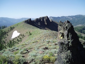
ridge south of Little Needle Peak

Had another wonderful five day backpack in the Granite Chief last week. A lot of the trip was just re-visiting places I’d been before, some of them not in several years though.

As a new trip I went to Little Needle Lake which I’d heard other people mention but not been to. It is a shallow, alder and willow bordered lake in the volcanic rock below Little Needle Peak. It is a pretty setting, with soggy wet meadows surrounding the lake and a spectacular cliff above. The route is is a vague trail, and there are some seldom used campsites at the lake. To avoid the thick mosquitos at the lake, I camped to the north on a granite bench, where there were some really cool trees and a great view of the end of the day down the Middle Fork American River canyon. The next day I headed up onto the ridge and south, following the divide between Picayune Valley and Five Lake Creek, eventually reconnecting to the Picayune Valley trail a little east of where it climbs out of Picayune Valley. The ridge does not have a trail, but the going was pretty easy, with great views and a different perspective than I’ve gotten elsewhere.

Continue reading →

Granite Chief Trail 2008-08-24

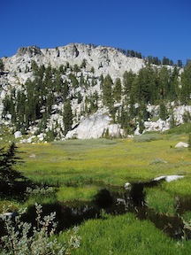
Squaw Creek meadow and Granite Chief

For the first time, I hiked up the Granite Chief Trail which links Squaw Valley with the Pacific Crest Trail just north of the wilderness. I went on to the top of Granite Chief at 9006 feet, with a clear view in all directions.

The trail starts literally at the right side of the main fire station in Squaw Valley, which is just north of where the main road turns left towards The Village. There is a traditional Granite Chief Wilderness information sign, and a Granite Chief Trail sign, but no destination or mileage sign. The trail climbs past a ropes course and then steeply through private property below houses to a dirt road leading left to a large water tank, then becomes a trail again. The trail alternates steep rocky eroded sections with gentle smooth grades, all the way to the crest. I few seeps and creeklets are still flowing in the lower half of the trail. There are two major side trails, unsigned, that take off the trail in the lower half, not that noticeable going up but quite noticeable and confusing coming down. At the first split coming down, the right fork connects to the Squaw Creek – Shirley Lake trail, so take the left to stay on the main trail. At the second split coming down, I didn’t follow out the left fork, but the right is the main trail. When coming down past the water tank, the trail is not marked but leaves the road to the right not far down.

Continue reading →