Tag Archives: Five Lakes Creek Trail

trail work 2020-07

My trip July 2-9 was mostly into the Hell Hole Trail area. I went in at Alpine Meadows trailhead, down Five Lakes Creek, to Hell Hole Trail and McKinstry Trail, and then back out via Powderhorn Trail, north along the PCT, and out at Alpine Meadows ski area.

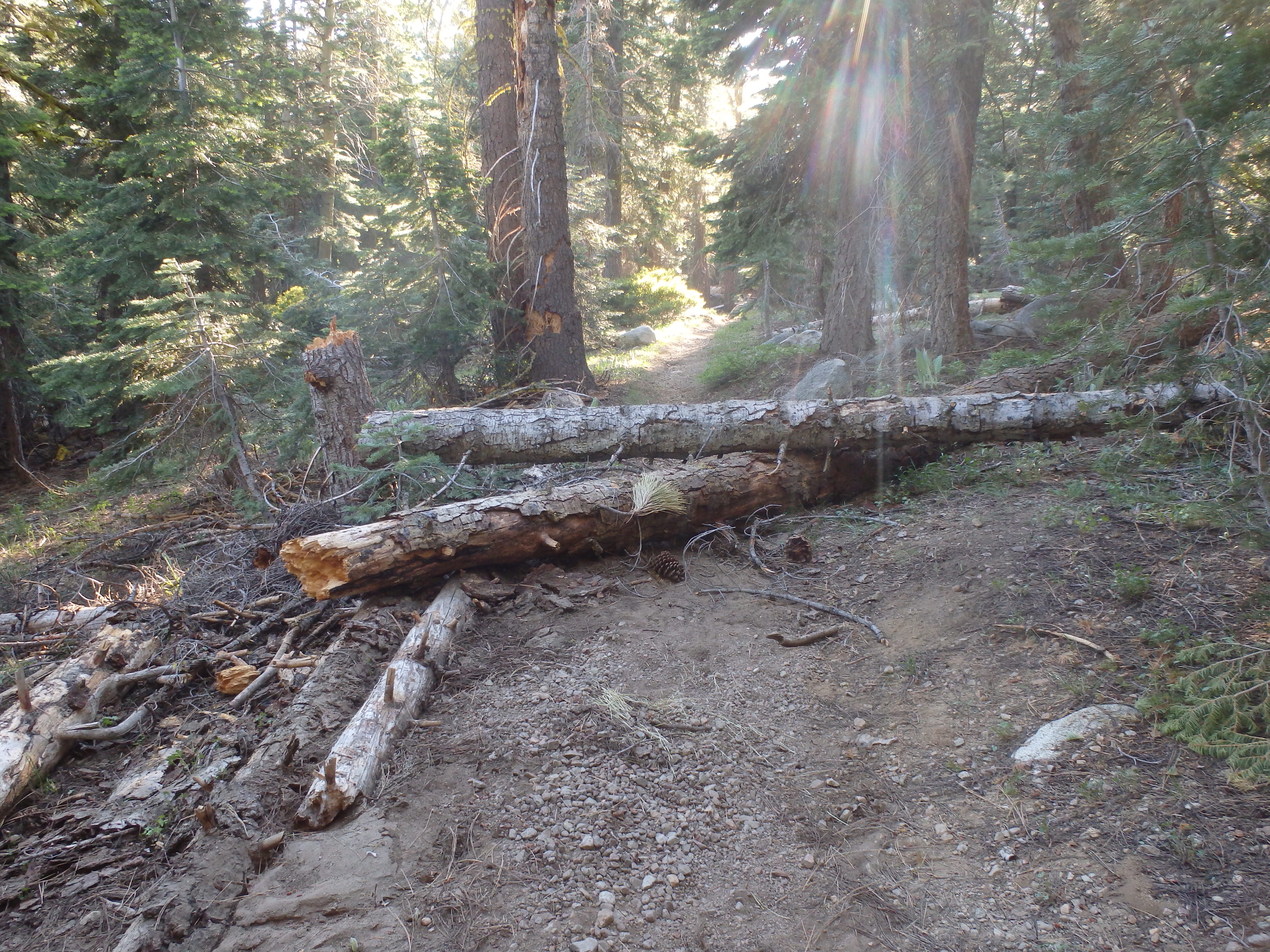
The Five Lakes Creek Trail is in gradually deteriorating condition, with more down trees added to the existing ones, and more issues with tread erosion. The Hell Hole Trail is in decent shape though there are downed trees that have now been there for years, and a few more are added every year. I have been working on defining the tread, so the trail is becoming somewhat easier to follow, though some sections still have a lot of winter debris accumulation. The trail from Diamond Crossing down disappears as it approaches Five Lakes Creek, due to thick willows and downfall, but it is not too hard to find a way through. The trail from there to below Steamboat Creek (which was still flowing well) is in decent condition, though it requires close attention to follow. There are a large number of oak trees down over the trail switchbacks about 2/3 of the way down the hill to the lower end of the trail, but you can bypass them by paying close attention.

I did some more work on what I’ll call the McKinstry Trail, from the junction at the bottom of the Hell Hole Trail, so it is now defined from the point near Five Lakes Creek crossing to about a third the distance back to the junction. But the 2/3 closer to the junction is very hard to find, and I have not yet identified what the best route is. I’m sure the original trail just headed across the forested flats, but the helicopter logging that left all the debris, and a weakened forest generating downfall, has completely obscured these sections. Eventually I’ll figure and and define the best route, but for now, one just has to head in the right directly and hope to pick up the trail again.

After crossing lower Five Lakes Creek, the route again is lost in the forested flats. It shows up again where it climbs up on the ridge separating Five Lakes Creek drainage from the Rubicon River, and is marked with rock ducks to where it comes back down to the river. I have not been past the crossing of the Rubicon in years, so the condition of the rest of the McKinstry Trail is unknown to me. There are also use trails that follow the ridge between the two drainages down towards the reservoir, but I haven’t been on those in years either.

Heading back out, I took the Powderhorn Trail, which has more downed trees but is not in bad condition, walked the road to Barker Pass, and headed back north on the PCT. The PCT is in good condition from Barker to the PCT/TRT junction. After all these years, it seems the the Tahoe Rim Trail Association has finally reached the desired state of good repair: no downed trees, no brushy sections, tread in good condition. Thank you! North of that junction there are a few downed trees, and some areas needing brushing (which apparently only I do, but I haven’t done in about three years). I intended to go out through Five Lakes back to the trailhead, but realized there were going to be hundreds of people on that trail, so I went out through the Alpine Meadows ski area, which is no shorter than the trail, but I only saw one person.
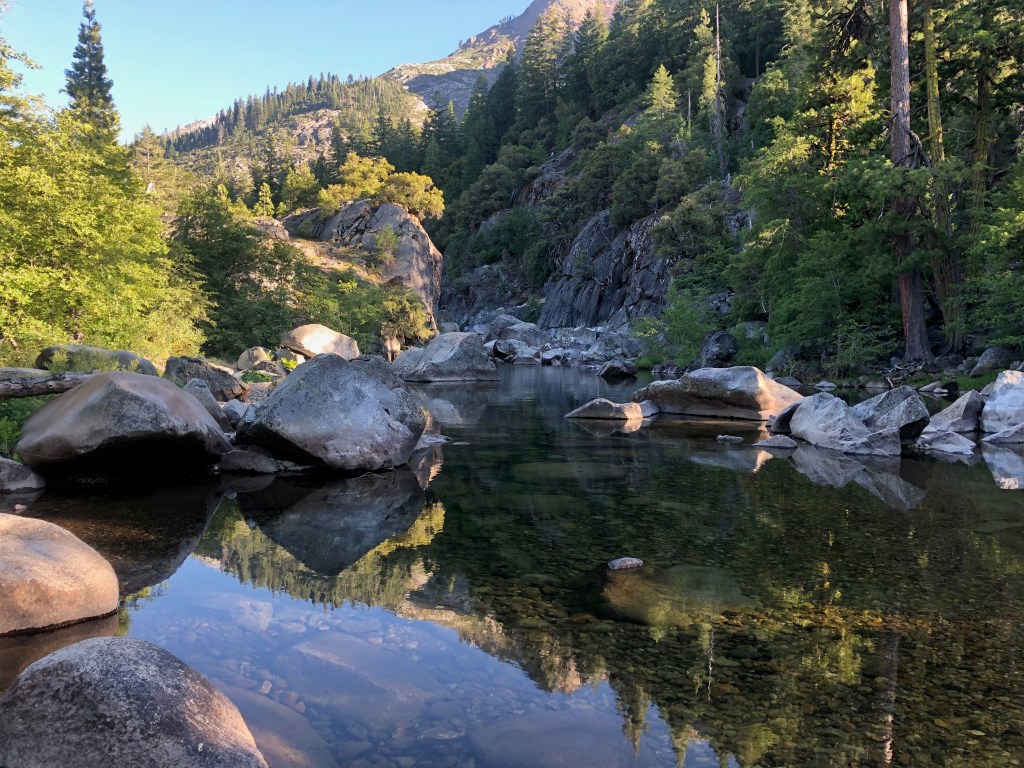
Rubicon River near McKinstry Trail

I’m just about to head back into the same area, to do a little more trail work and a little more exploring.

Photos on Flickr: https://www.flickr.com/photos/allisondan/albums/72157715140370061
Granite Chief 2016-08

Note: this trip is LAST year, 2016, which I never got around to finishing, but here it is now. I like to post on every trip, in part so that I myself can keep track of trips and where I went. 

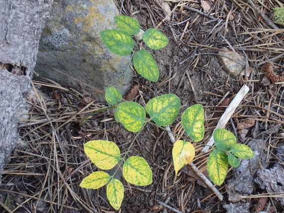
A dry year, dogbane turns color early

I went in at Squaw Valley (bus stop) and up Granite Chief Trail to Granite Chief saddle  where I camped for the night. The next day I walked out the Tevis Cup Trail and what I call the Tevis Cup Connector, one of the old Western States Trail alignments. Tevis Cup is easy to follow and has great views, but the trail itself is unpleasant,  climbing and descending repeatedly for no good reason, and poorly maintained. The end of the trail has been re-aligned off a gravel road onto a trail that goes past old ranch or FS buildings (not sure which), but ends at the same green gate as the old route. The Tevis Cup Connector is faded and jhard to follow in some places, as it descends and crosses the Middle Fork American River and then climbs to join the Tevis Cup. 

I headed south on the PCT, doing some spot brushing along the way, and continued to Barker Pass, to Powderhorn Trail and back into the wilderness. Powderhorn is in decent shape on the upper third and lower third, but almost completely brushed in in the middle third, with whitethorn and doghair fir. I camped at Diamond Crossing, explored Bear Pen trail which I’d not beeen on in several years. It is in decent shape, not too hard to follow, but where it crosses Bear Pen Creek before the meadow, eroded banks make it necessary to climb down and back up, awkward with a pack. 

Some sort of bee or wasp is incredible abundant, everywhere but particularly along the edges of creeks. Yellow and black striped body, but no fuzziness and no constriction between the thorax and abdomen. Not sure what it is. Also saw a lot of grouse on this trip, at least 40. 

I went out Five Lakes Creek Trail, which has received some logging out, perhaps by the horse trip that comes in once a year to a Big Spring meadow, and then out to the Five Lakes trailhead. And back to Truckee by bus and back home on the train. 

Photos on Flickr; Granite Chief collection

First trip, down Five Lakes Creek

For my first trip of the season, July 4-10, much later than recent years, I headed in at the Five Lakes trailhead and went down Five Lakes Creek. There were only snow patches on the trails, and they would be gone by now. There are a few trees down as far as Whiskey Creek Camp, and a moderate amount of winter debris, the branches that come down over the winter and can be throw off if one has the time. From Whiskey Creek Camp southward, there are more trees and more debris, with the biggest issue being young firs bent over the trail. More snow than usual at these middle elevations bent these trees.

From Diamond Crossing south to Steamboat Creek, there are a lot of trees down, and a lot of winter debris. In fact, this trail segment has become quite difficult to follow. When you leave the trail to go above or below a fallen tree, it is very challenging to see the trail and get back on it, being so covered with debris that it looks just like the rest of the forest floor. If this trail doesn’t receive some maintenance within a couple of years, it is done for. Bears provide a lot of the trail maintenance on these lesser-used trails, and there is evidence that the bears are starting to prefer other, easier routes over the old trail, and if so, that is the beginning of the end. 

All of the named creek crossings were wet ones. Some are probably rock jumps now, but some may still be wet. The snow melt has created tread erosion in a number of places. No surprise. When you combine an almost complete lack of water control structures on the trails with a wetter winter, erosion is the result. 

I spent two days doing maintenance on the lower third of the Powderhorn Trail. The doghair fir is pushing into the trail, so the hiker has to push through it. I cut those back, so the trail is in good condition, with a bypass around one down tree. However, another down tree that can be bypassed by hikers may well be a barrier for equestrians since it is on a steep side slope in a dense forest. The real issues on the Powderhorn are in the middle third section, where doghair fir and whitethorn brush have essentially closed the trail. Though the alder section below the postpile formation has been an issue in the past, I’m guessing that it is still passable. I did not have time to work on the middle third, so good luck if you go there. 

I met a Forest Service wilderness ranger, Nathaniel, on the Five Lakes trail. This is the first time in many years that the Granite Chief has had dedicated staff, so I’m looking forward to more attention being paid. 

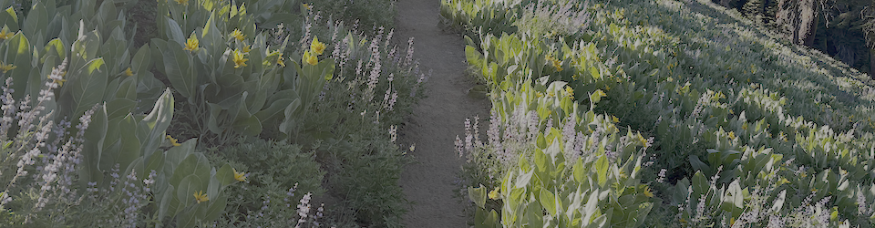
The flower show is just developing, with pentstemons, mules ears,and a few others. 

I did not go north or south on the PCT, nor any of the other trails in the wilderness, so have nothing to report on them. As always, I welcome comments from others on trail conditions, creek crossings, and water sources. 

Photos on Flickr

missing 2012 trips

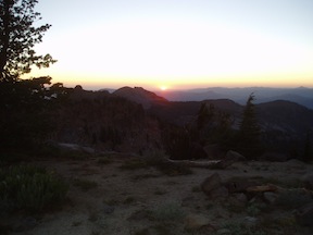
sunset from Granite Chief peak

sunset from Granite Chief peak

I never seem to get all my trips posted. Not only did I not post my 10-day trip into the Mokelumne Wilderness, the highlight of the summer, I did not get around to posting on next two trips into the Granite Chief Wilderness.

Trail Maintenance and Powderhorn

The first missing trip was seven days in July. I went in at Granite Chief trailhead, and in fact spent several days completing brushing trail work on that trail. Once that was done, I headed south and camped on the top of Granite Chief peak, a spectacular place to sleep. When the air of the central valley is reasonably clear, it is easy to see details of the coast ranges, and at night, the lights of the valley cities and towns.

Continue reading →

Off-trail explorations 2009-07-16

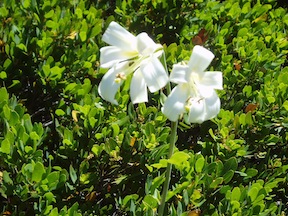
Washington Lily

On a four day backpack from Barker Pass, I did quite a bit of exploring off trail and on old trails. The snow has really disappeared since I was last in the wilderness in June, with just patches on or close to the trail now. And of course there are a lot more flowers now, except on the ridgelines where the flowers were already great.

I explored Grouse Creek from the PCT down to the Five Lakes Trail. In the upper part I stayed as close to the creek as possible, but in the lower canyon it becomes too difficult to do so, and the bear trail led me out onto the ridge to the northwest, with great views back up Grouse Creek and up and down Five Lakes Creek. Washington lilies were poking up through the manzanita thickets on the ridge, and down along the ridge a number of dry rocky plants were blooming.

Continue reading →