Author Archives: Dan Allison

Unknown's avatar

About Dan Allison

Dan Allison is a transportation advocate in Sacramento, CA. Dan dances and backpacks, as much as possible.

report from Daniel Nasaw

Daniel Nasaw sent this brief post-trip update back in July:

Our trip was really fantastic, despite some early trouble.  We lost the Powderhorn trail almost right away and ended up bushwhacking down the west-facing slope almost a quarter mile to the west of the Powderhorn Creek.  When we got to the bottom of the ravine we whacked north-eastward and eventually found the trail right where it comes down out of the woods and into that small meadow before it crosses the creek.

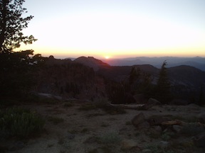
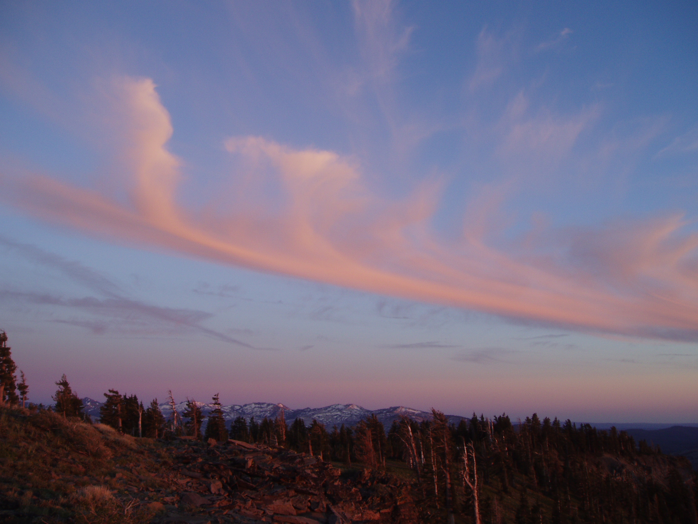
We now think what happened is we followed the logging road, just as you warned not to, instead of the trail.  We think this happened right toward the beginning where there’s that large clearing with a huge stump right in the middle and the old sawn logs off to the right of the trail.  The logging road continues up to the left, while the trail continues directly ahead.  So we probably lost about an hour and missed out on a lot of beautiful views — and I got plenty spooked that first night.

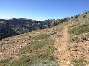
But after that, we had no trouble at all, and followed the trails all the way north to Whiskey Creek and back the following day, and took the Powderhorn trail back up to the trailhead and our vehicle the day after that.

An amazing trip!  Thanks so much for your help!

Granite Chief Wilderness Campaign

The American River Conservancy has started the Granite Chief Wilderness Campaign to protect 10,000 acres of land on the west and north sides of the Granite Chief Wilderness.

The lands are currently privately owned, mostly by a logging company. The parcels include headwaters of the North Fork American River and Middle Fork American River. Since some of the parcels are immediately adjacent to the existing wilderness, they could be automatically added to the wilderness.

Continue reading

back to Flickr

I’ve moved my photos back to Flickr. Google made PicasaWeb progressively harder to use and less useful, as it removed capabilities and pushed people onto Google+, the social service. I have fixed all the photo links on blog posts.

My Granite Chief Wilderness collection is at http://www.flickr.com/photos/allisondan/collections/72157637640215275/. In addition to the sets in this collection, two additional trips include a portion in the Granite Chief: Pacific Crest 2008-07 and Western States Trail 2012-07.

Trails and Maps

One of my purposes of my Picayune Valley and Shanks Cove trip earlier this year was to create GPS tracks for the Western States and Shanks Cove trails. In the area of the saddle between the Five Lakes Creek basin and Picayune Valley, the trail alignment shown on the National Geographic Trails Illustrated maps is incorrect. It turns out, now that Trimble Outdoors has added National Forest roads and trails as an available overlay in MyTopo Maps, that the Forest Service base maps are incorrect.

Continue reading

short PCT and brushing

GCW_PCT-ridge-north

north along the PCT across Whiskey Creek basin

A short three-day trip into the Granite Chief Wilderness this week. I went in at Squaw Valley on the Granite Chief Trail, which is the most convenient entry point for me because the TART bus stops a hundred yards from the trailhead. I’m glad to have completed brushing on this trail last year, as it makes for a nice walk. The trail has been logged out, so is in good shape, but there are erosion problems on some of it that make it rocky going. I turned south on the PCT where there is a new trail sign to replace the one that had deteriorated and eventually disappeared. Two small creeks still cross the trail here, but both are small and will probably dry soon.

Continue reading

Picayune Valley and Shanks Cove

falls on the MIddle Fork American River

falls on the MIddle Fork American River

My first trip of 2013 in the Granite Chief did not come until past mid-July. This is despite the fact that with the early and mild winter, I could probably have started backpacking in May. But my life if busy.

I headed in at Alpine Meadows Trailhead, and walked over the saddle to Whiskey Creek Camp the first night. I’m amazed going in here how many people there are day hiking on this trail, even late into the evening. I’ve heard that busy summer days see 5000 people on this trail, almost all of them dayhikers and only a few backpackers. No one was at Whiskey Creek Camp, even though it was a Saturday night in mid-season.

Continue reading

missing 2012 trips

sunset from Granite Chief peak

sunset from Granite Chief peak

I never seem to get all my trips posted. Not only did I not post my 10-day trip into the Mokelumne Wilderness, the highlight of the summer, I did not get around to posting on next two trips into the Granite Chief Wilderness.

Trail Maintenance and Powderhorn

The first missing trip was seven days in July. I went in at Granite Chief trailhead, and in fact spent several days completing brushing trail work on that trail. Once that was done, I headed south and camped on the top of Granite Chief peak, a spectacular place to sleep. When the air of the central valley is reasonably clear, it is easy to see details of the coast ranges, and at night, the lights of the valley cities and towns.

Continue reading

First trip 2012-06

jetstream clouds at sunset

I did my first trip through the wilderness June 24-27. How much difference a year makes! Last year, a month later, I was crossing regular patches of snow on the trail, and sometimes walking on snow for long distances, but this year I only crossed a couple of patches. Last year the creeks were so high that they were difficult or impossible to cross, this year all were easily crossed.

I went in at Granite Chief Trail, and did an afternoon’s work brushing the trail, and then much of the next day. I’ve completed the portion to about half way up where the trail crosses a creek near a mules ears meadow. Probably another day’s work yet to do to finish it off to the top. Huckleberry oak, white thorn, and pine mat manzanita have died back in a number of places along the trail. Is it from too much snow last year, or too little this year, or some other reason? I camped out on a granite ledge that hangs over Squaw Creek canyon, but slept very little with the wind howling all night.

Continue reading

A lost trip

Tiger Lily along Five Lakes Creek

I thought that I’d wrapped everything up this morning, and then this afternoon I was going through photos of other trips to upload them, and discovered set of photos I’d not labeled or uploaded. They were named TRT, but it was actually a much bigger trip, from Donner Summit to Spooner Summit. Once I found the photos, I also found the section of my journal, where I’d taken fairly detailed notes on the trip.

For the Granite Chief Wilderness portion, I came in on the north side from the PCT, went to Whiskey Creek Camp, walked out to the head of Picayune Valley but didn’t go down, explored Five Lakes, went down Five Lakes Creek to Diamond Crossing, and then out Powderhorn Canyon to Barker Pass. I backtracked to Twin Peaks and went out Stanford Rock Trail to Tahoe.

So THIS was my first trip of 2011 into the Granite Chief. Or maybe there are more yet to discover!

photos on Flickr