Second trip of the season, July 1 to 6, 2025. As always, I got to and from the wilderness using Amtrak train or bus from home in Sacramento, and the TART bus south from Truckee to Tahoe City. No need to drive!
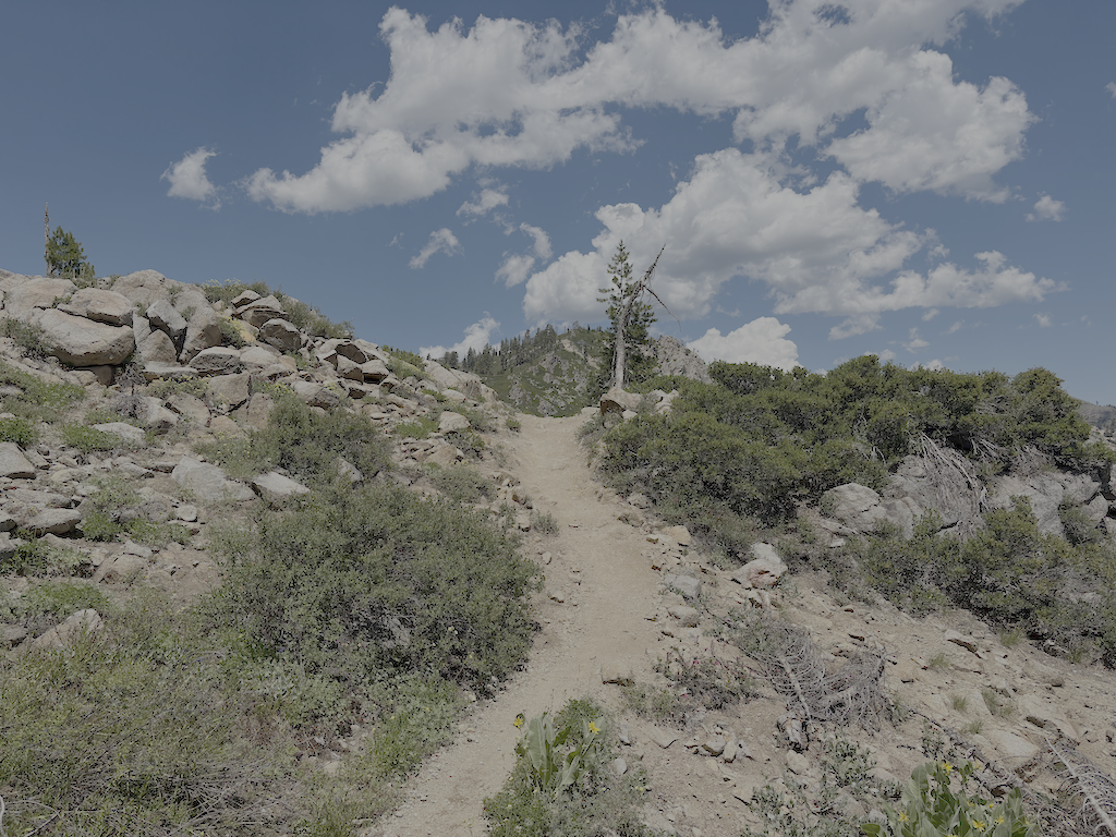
I started at the Western States trailhead on Hwy 89 at the Truckee River bridge. I’m calling this the Western States (Olympic Valley) Trail to distinguish it from the Western States Trail through Picayune Valley. Both parts have the same trail number, 16E10. There is parking on the east side of the bridge, and a sidewalk on the bridge to the west side, where the trail starts. The first part of the trail is very well maintained, by Truckee Trails Foundation, and includes some new signing. As the trail crosses into Palisades Tahoe ski area, the trail is not as well maintained, and there is almost no signing for the trail, making it hard to follow. There were actually more signs when I last hiked it in 2021. Some parts are trail, some parts are on ski area roads. Nevertheless, I made it to Watson Monument on the ridgeline, and then descended to the PCT at the PCT/Tevis Cup Trail/Western States Trail junction.
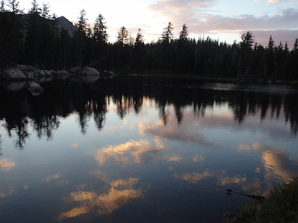
I proceeded south on the PCT to Whiskey Creek Trail and then camped near but not at Whiskey Creek Camp. The PCT has not been maintained this year, so has down trees, light to heavy winter debris, and brush in some areas.
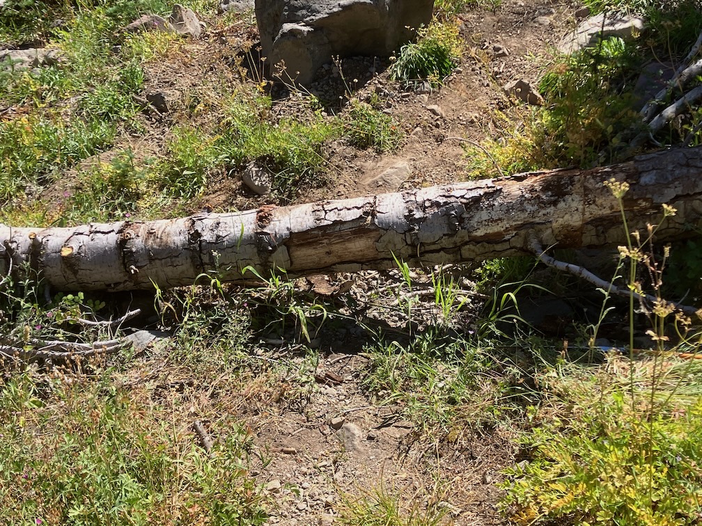
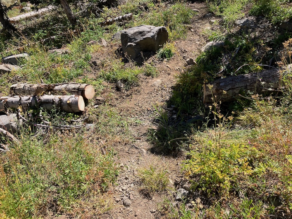
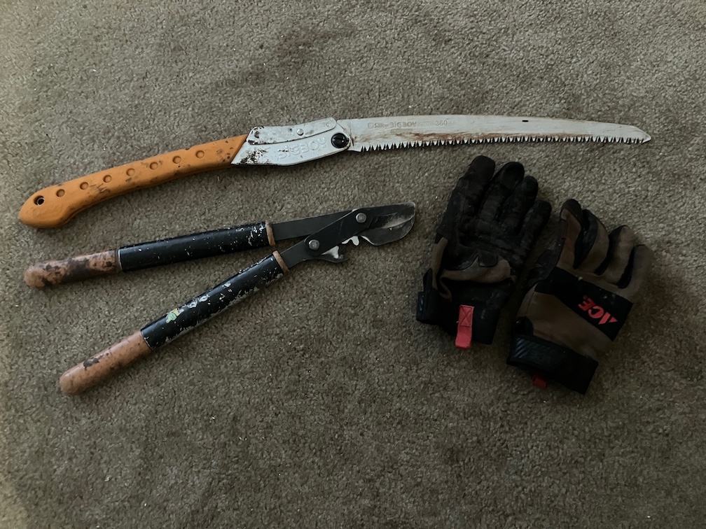
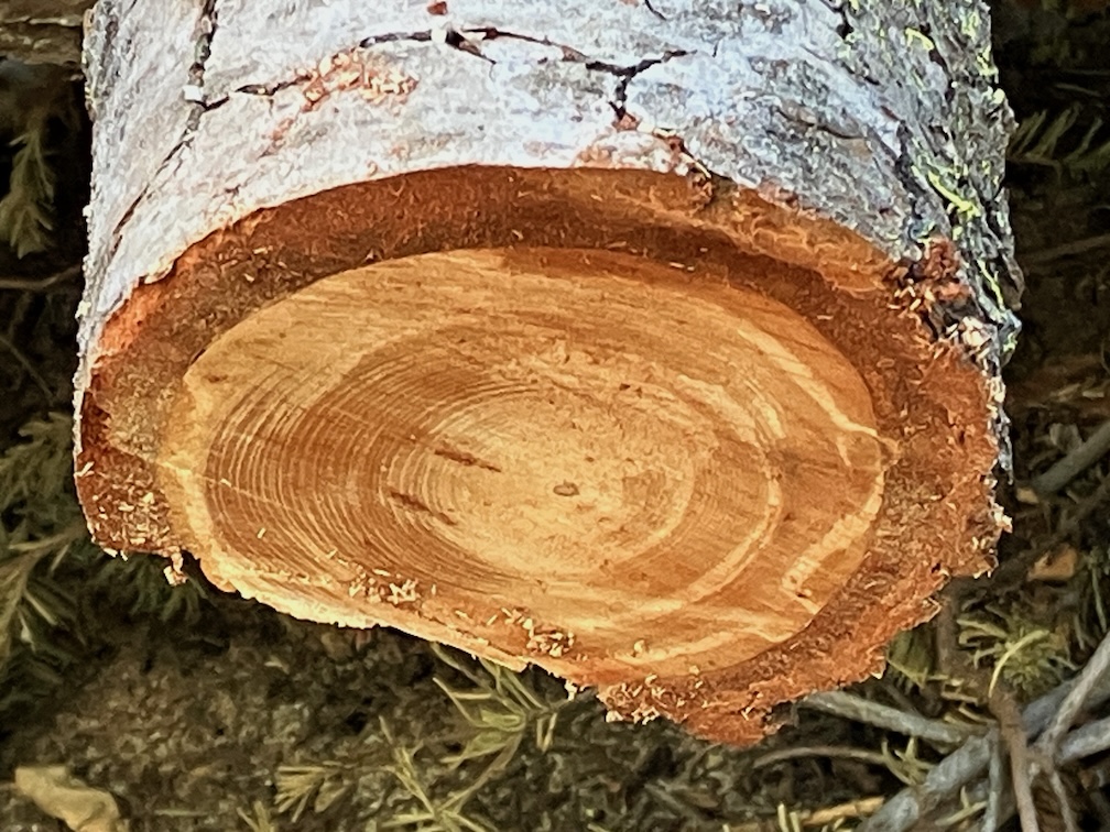
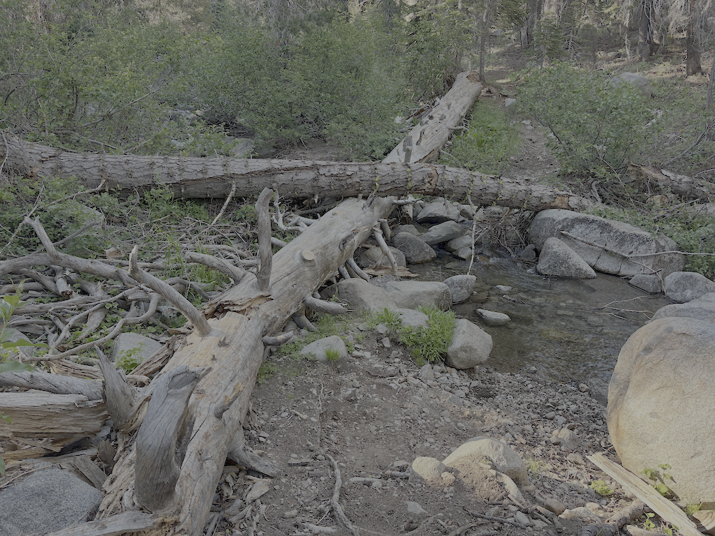
The primary purpose of this trip was to do trail maintenance on the Western States Trail. I had done a little last year, and continued, working west from the camp. There were two very thick brush areas, one of whitethorn and aspen, and the other of whitethorn. Whitethorn is much softer at the beginning of the season, but gets harder and sharper as the season goes on. It is not too hard to cut now, but later will exact a revenge in blood. I also cut a number of small down trees. Ten larger ones remain, but now with bypasses or step-overs. I worked as far as the creek crossing, which is a tributary to Five Lakes Creek, and the only water on the the trail before it drops into Picayune Valley. Only 1.4km of progress, but satisfying. I’ll likely continue on Western States next trip. I continue to be very happy with my Silky Big Boy folding saw and Fiskars nippers.
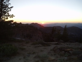
After completing as much as I could, I returned to the PCT and headed south, camping on the ridgeline at one of the few flat spots. The tread has a lot of loose rock, particularly from Ward Peak south for a mile, and has some brushy spots. The section where I have spent many trail work trips keeping brushed out is starting to close in again, but should be OK until next year.
At the Tahoe Rim Trail (TRT), I headed out through Ward Creek to the road, and thence to Sunnyside. Lunch at the store, and bus to Tahoe City, for shower, pizza, concert, and sleep.
I have been buying a few things at Alpenglow Sports in Tahoe City. I can get the same, often less expensive, at REI, but since I’m in Tahoe City at the beginning or end of every backpack trip, it is actually more convenient to go there than the Sacramento REI which is in a car-infested part of Sacramento. And they are good, knowledgable people.
Check the Trail Conditions page for specific info on each of the trails that I walked.
- Photos on Flickr: https://www.flickr.com/photos/allisondan/albums/72177720327427555
- Granite Chief collection on Flickr: https://www.flickr.com/photos/allisondan/collections/72157637640215275/