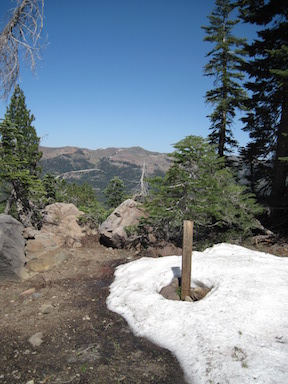
This backpack was September 10 to 14. More than a month ago, but when out of the wilderness, it is out of mind, and I forget that I haven’t posted trips. I’m planning one last backpack trip tomorrow (October 21), for Granite Chief. I backpack in the foothills and Bay Area during the winter.
My. trip up to Truckee on the California Zephyr was much delayed. A person was smoking in the bathroom and started a fire that smoked out that car and caused much consternation. My view of people who are so addicted to smoking that they can’t go without it, ought to try some other drug that ends their misery. He was hauled away in handcuffs by the county sheriff, but would be facing federal charges since Amtrak is a quasi-federal agency.
I went in at Five Lakes or Alpine Meadows trailhead (it gets referred to as both), and camped at Whiskey Creek Camp. I ran into a couple who had been doing light trailwork on the Five Lakes Creek Trail, and said they had been coming to the area since the 1970s, which was long before it was designated wilderness. I neglected to get their contact info, but it would be interesting to talk to them about their experience over the years. I don’t often run into people who have been going there longer than I have, but my first trip was 2002, I think.
I did trailwork on the Western States Trail, from Whiskey Creek Camp, but accomplished less than a kilometer of brushing, mostly whitethorn, which quickly encroaches on the trail. Early season whitethorn is pliable and doesn’t draw blood, but late in the season it is quite stiff and does draw blood.
Fall colors were well underway, casting a yellowish light, but the aspens had only just begun to turn, mostly a few branches but not whole trees. The air feels different, and sound carries differently. At twilight, two great horned owls were calling, for quite some while.
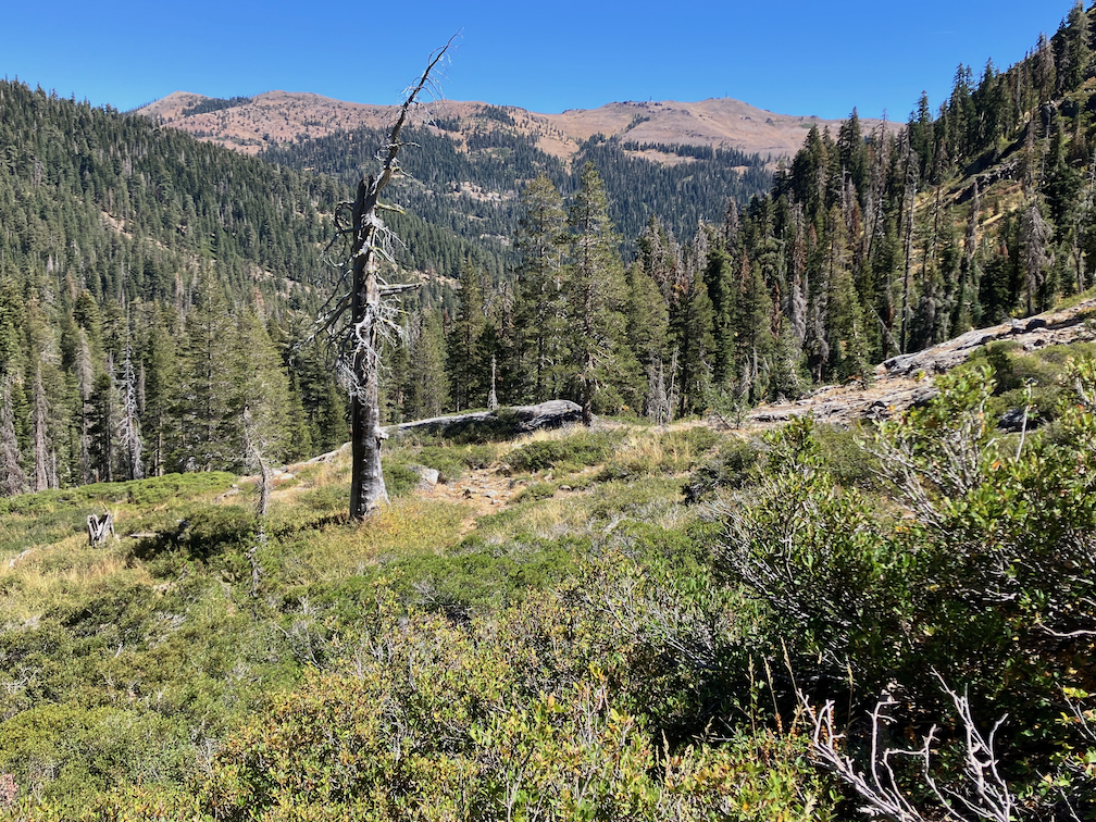
I hiked the Shanks Cove TraIl as far as Shanks Cove, which is an alder and willow filled wet area, which used to have some open meadow but has been filled in. The trail has at least 94 down trees, but the bigger challenge is following the trail through some patches of brush or alders, and I lost it four times. The crossing of Shanks Cove Creek is not obvious. There was a little maintenance here about ten years ago, but many of the down trees have been here far longer. The brush is not thick, except in a few places, but it would take a lot of work to clear. The creek was low except in bedrock sections. It’s a pretty canyon to hike, even if the trail is poor. I did not continue beyond Shanks Cove, so don’t know trail conditions for the climb to the ridge, and the other section that descends to the Western States Trail.
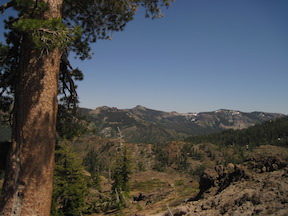
I hiked the PCT north to Middle Fork American River and camps the night there, great stars. The creek is low but flowing. I continued north to the Granite Chief Trail and out to Palisades Tahoe. TART bus to Truckee. I’ve started going to Dark Horse Coffee, on River Street in Truckee. Used to go to CoffeeBar, but their service deteriorated, and Dark Horse still has good service. As always, a tea drinker and not a coffee drinker.
Overall, all the creeks were still flowing, but noticeable low with the fall season. As the creeks drop, it is more challenging to gather water from them. Of the creeklets which cross the trails in several places, most were dry, but surprisingly, some were flowing quite well. It was a strange year for water, very wet early in the season, particularly at higher elevations where there was above average snow, but the lower elevations where there was almost no snow were dry early.
Photos on Flickr:
- Album: https://www.flickr.com/photos/allisondan/albums/72177720321354861
- Granite Chief Wilderness Collection: https://www.flickr.com/photos/allisondan/collections/72157637640215275/