Monthly Archives: August 2022

Powderhorn 2022-08

My second trip of the season was in at Alpine Meadows trailhead, past Five Lakes, and camping near Whiskey Creek Camp. I did some brushing and winter debris removal on the Whiskey Creek Camp trail, and then headed down Five Lakes Creek trail. This trail is worse by the year, more down trees. Though backpackers can climb over or walk around all of the trees, not so for equestrians, because going around the down trees leads into thickets of down trees. I think this trail has to be considered closed to equestrians now, and will be, until and if the Forest Service eventually logs out the trail. I have given up on this trail, not doing any trail work on it. This is ironic since I’ve spent so much time working on the Hell Hole trail, for which the Five Lakes Creek trail was once the main access point. My trail work is brushing and winter debris removal. I have no capability to cut out down trees over about six inches.

Five Lakes Creek near Diamond Crossing

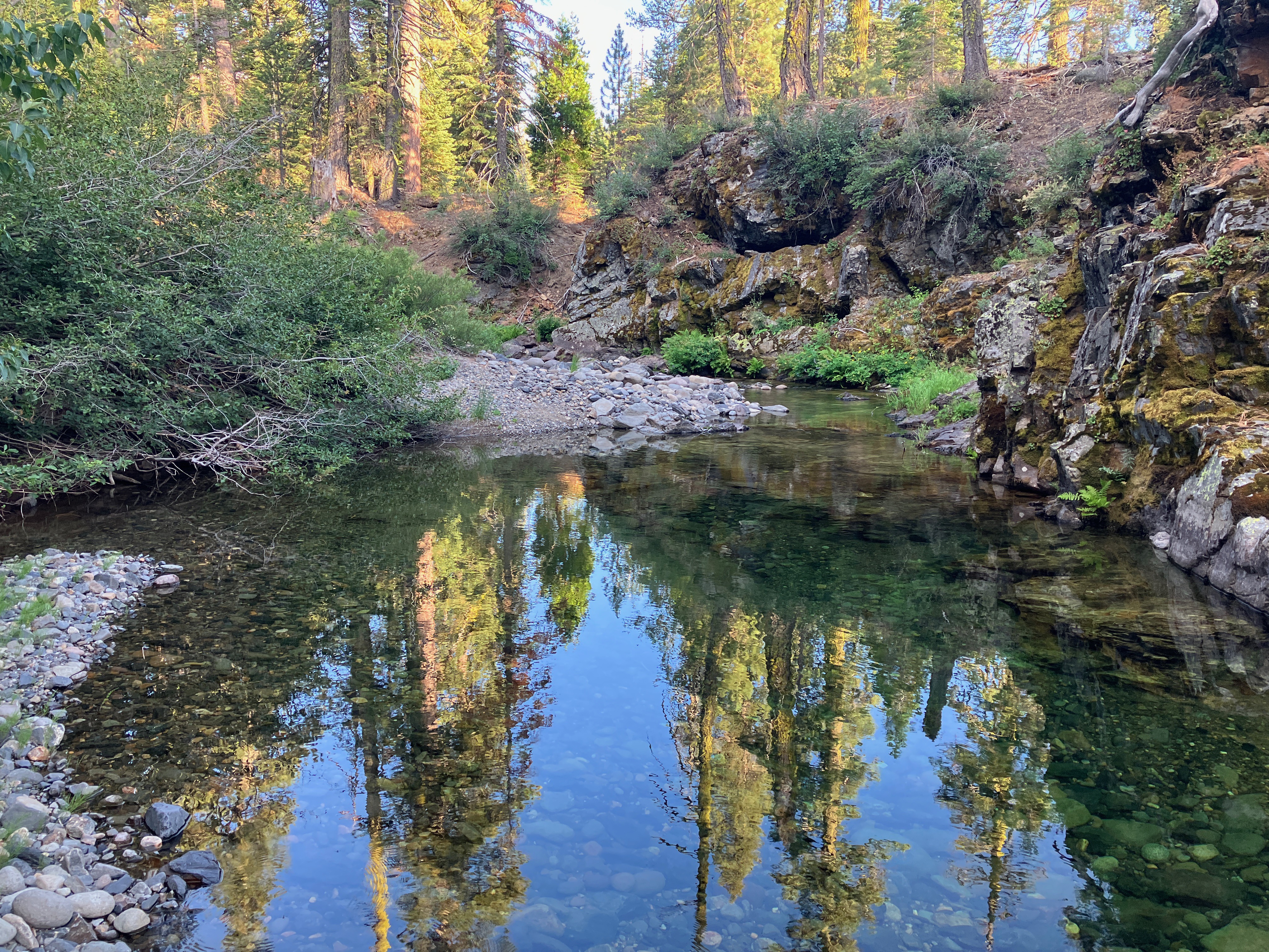
I camped near Five Lakes Creek below Diamond Crossing, where the creek pools below riffles. A beautiful spot to spend time. The next two days I worked on the Powderhorn trail, clearing winter debris, very heavy in spots, and cutting brush, not too bad but growing into the trail. Much of the trail has abundant white fir and red fir reproduction, so there are sprouts everywhere along the trail. A few of these will live, and crowd the trail, so I remove them when I can, keeping the trail corridor open. If I let them go, many grow to a point, and then die, leaning into the trail with what I call spars, waiting to rip clothing or skin. It is a lot of work pulling up young sprouts, nipping older sprouts, and fanno sawing young trees. My work only cleared about a half mile of trail, leaving a lot of trailwork for future trips.

The Powderhorn trail is similarly no longer accessible to equestrians. Though there are fewer trees, and easier bypasses than the Five Lake Creek trail, one down tree has no safe bypass. In the past an equestrian group went into Big Spring Meadows every year via the Powderhorn trail, and cut downed trees on their way in, but that group seems to have given up on the trips as more and more trees have come down.

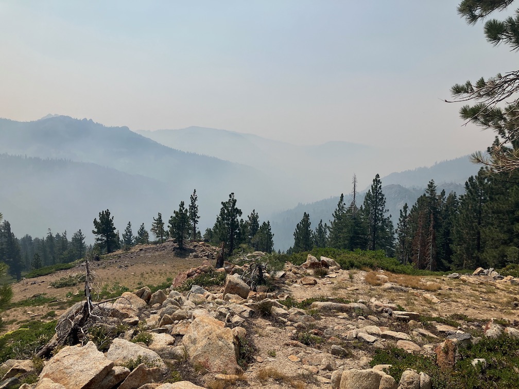
It saddens me that the Forest Service has given up on keeping trails logged out and open. I realized they are being almost forced by political concerns to spend nearly the entire budget on fire fighting (meaning fire suppression). Years of fire suppression have left overly dense forests, and so the agency thinks it must continue to suppress fires. Of course, with fire, the question is not IF an area will burn, but WHEN. The Granite Chief Wilderness has overly dense forests, waiting for ignition. Of course the forest is gradually thinning itself in a natural way as large numbers of trees die off. But this will leave trails littered with down trees, and difficult to use or even unusable.

After the trailwork, I headed out the Powderhorn trail, walked the road to Barker Pass and went back in on the PCT/Tahoe Rim Trail, camping near the PCT/TRT junction on the crest. The last day I walked out the Tahoe Rim Trail to Ward Creek, which is being maintained and is in good condition. I walked out Ward Creek to the west shore and caught the bus into Tahoe City. Though I enjoy the Page Meadows section of the TRT in the spring with wildflowers and in the fall with aspens colors, it is boring during the summer.

PCT & Picayune 2022-07

This was my first trip of the season, probably the latest I’ve ever started. I had been doing a lot of short backpack trips along the Bay Area Ridge Trail, intending to complete that trail in a single year, but now taking a break because it is just too hot there. And I’ve been traveling and dancing a bit, which left shorter periods of few days for backpacking in the Sierra.

I went in at Palisades Tahoe on the Granite Chief Trail. This trail has been adopted by Truckee Trails, and is being appropriately maintained, so I’m scratching that one off my list of trails that I need to maintain. I headed south along the Pacific Crest Trail (PCT), over Granite Chief saddle and down Whiskey Creek drainage. I camped near Whiskey Creek Camp, and had a nice long conversation with five people camped there, parents, two children on their first backpack trip, and a friend from Chicago.

The next morning it was a little smokey, so I hung out and it didn’t seem to be getting worse, so I headed out the Western States Trail toward Picayune Valley. And then the smoke really came in! The Five Lakes Creek drainage was completely filled with dense smoke, and the ridgelines barely visible. So I sat it out for quite a while. When it thinned a little, I headed to Picayune Valley, wearing my N-95 mask, to one of my favorite camp spots.

smoke in Five Lakes Creek basin

The smoke mostly cleared in the evening, and the stars were good. Next morning I walked the rest of the trail down to Talbot trailhead. The wet meadows and seep areas along the trail were chock-full of flowers. Because the trail is not getting much use, the soft vegetation crowds in and obscures the trail tread, but is easy to push through.

I had partly headed to Picayune in an effort to get away from the smoke, which I figured might be less further west, if the smoke plume location was correct. But the next day was mostly clear, so I went back out and back to Whiskey Creek Camp area. The smoke was from the Oak Fire in Mariposa County.

Next day I continued my way south on the PCT to Barker Pass. Though I’d seen very few PCT thru hikers previously, that day there were a more ‘normal’ number, about 70. I headed down the Blackwood Canyon jeep trail and camped near Blackwood Campground. The campground is no longer free ($17/night for a campground without water and trash service!), and the Lake Tahoe Basin has outlawed backcountry camping. Not sure what the rationale is, but the effect is to discriminate against people of low and moderate income. Of course I believe that people have a right to travel over the earth, and to camp where they need to camp, and that is what I do no matter what the bureaucrat bean-counters think.

There are alot of red firs (Abies magnifica) dead, sometimes in clusters, and sometimes individuals. They seem to die branch by branch until they are completely dead. It looks as though middle aged trees and the most susceptible, not so much young trees and very old ones. Though there are also dead white firs, the red firs are particularly noticeable because of the intense reddish brown of the needles. The primary cause seems to be prolonged drought and over-abundance of trees (due to fire suppression). Once weakened by drought, they are susceptible to root rot, mistletoe, fungus, and bark beetles.

Small and seasonal creeks are dry. Medium creeks are low but still flowing well. Wet meadow and seep areas are still green and wet, but drier ridge areas and crispy dry. Flowers are abundant in wet or moist areas, but long gone in drier areas. The two most common species of flowers are pennyroyal and yampah.

The trails I walked on this trip are in pretty good condition. Light to moderate winter debris. A few down trees, almost all easy to step over or bypass. The one tree that might not be able to be bypassed by equestrians is on the switchback down from the saddle into Picayune Valley. There are a few places that could use spot brushing, though the alder wet area on the PCT at the crossing of the Middle Fork really needs brushing.

I did something on this trip that I’d not done in years – I took a paperback novel to read. I’ve listened to books, with Audible, but my iPhone battery runs down pretty quickly. I rather enjoyed hold a book in my hands!

I’ve had for a couple of years the idea of creating a digital presentation or book on the flowers of the wilderness. So I took a lot of flower photos on this trip. Not everything, and of course missed the early season flowers. I’m better labeling them than I have before, with common name (if I can figure it out), species name, and plant family. I’m hoping that when I get to the project, that will make it easier. I’m using primarily Sierra Nevada Wildflowers, Karen Wiese, Falcon Press (Kindle edition); and Wildflowers of Nevada and Placer Counties, California, Redbud Chapter of California Native Plant Society. macOS Photos app now makes suggestions for photos that contain one flower. Sometimes the suggestion are exactly right, sometimes they are good to the genus level, and sometimes they are completely wrong. It is interesting to check, but the lookup is rather slow.

Mule Ears, Wyethia mollis, Asteraceae

Back in tomorrow!